Biblioteca de Diseños
Nuevos Diseños Merch
Camisetas
Vectores
Diseños en tendencias de Merch
PNGs & SVGs
Mockups
Plantillas PSD de diseño de camisetas
Explorar Diseños
Diseños KDP
Posters
Tazas
Fundas para teléfonos
Bolsas de mano
Cojines
Herramientas de diseño
Merch Designer
Nuevo!
Mockup Generator
Generador de Diseño de IA
Vectorizador
Quote Generator
T-Shirt Maker (Antigua)
Ayuda
Merch Digest
Blog
Centro de Ayuda
Más información sobre Merch
Comentarios
Soluciones Corporativas
Empresa
Acceso a la API
Estudio de Diseño
Diseño a Gran Escala
Precios
Cargando...
Registrarse
Iniciar sesión
All
kante
Biblioteca de Diseños
Nuevos Diseños Merch
Camisetas
Vectores
Diseños en tendencias de Merch
PNGs & SVGs
Mockups
Plantillas PSD de diseño de camisetas
Explorar Diseños
Diseños KDP
Posters
Tazas
Fundas para teléfonos
Bolsas de mano
Cojines
Herramientas de diseño
Merch Designer
Nuevo!
Mockup Generator
Generador de Diseño de IA
Vectorizador
Quote Generator
T-Shirt Maker (Antigua)
Ayuda
Merch Digest
Blog
Centro de Ayuda
Más información sobre Merch
Comentarios
Soluciones Corporativas
Empresa
Acceso a la API
Estudio de Diseño
Diseño a Gran Escala
PLANES
All
kante
512 Diseños gráficos de kante para Print On Demand Merch
Descarga diseños de camisetas de kante y otros gráficos Merch como portadas de libros, carcasas para teléfonos, bolsas de mano y más.
Ordenado por
Más relevante
Resultados patrocinados por
Obtén un 15% de descuento con el código: VEXELS15
ver más
Premium
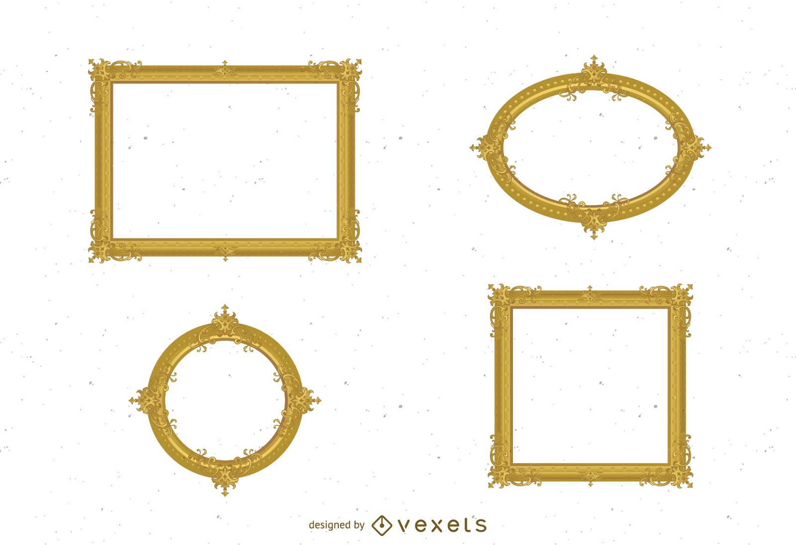
Elementos de marco con estilo Diseño PNG
Elija una carpeta
Todos los favoritos
Crear Nueva
Guardar
Elementos de marco con estilo Diseño PNG
Premium
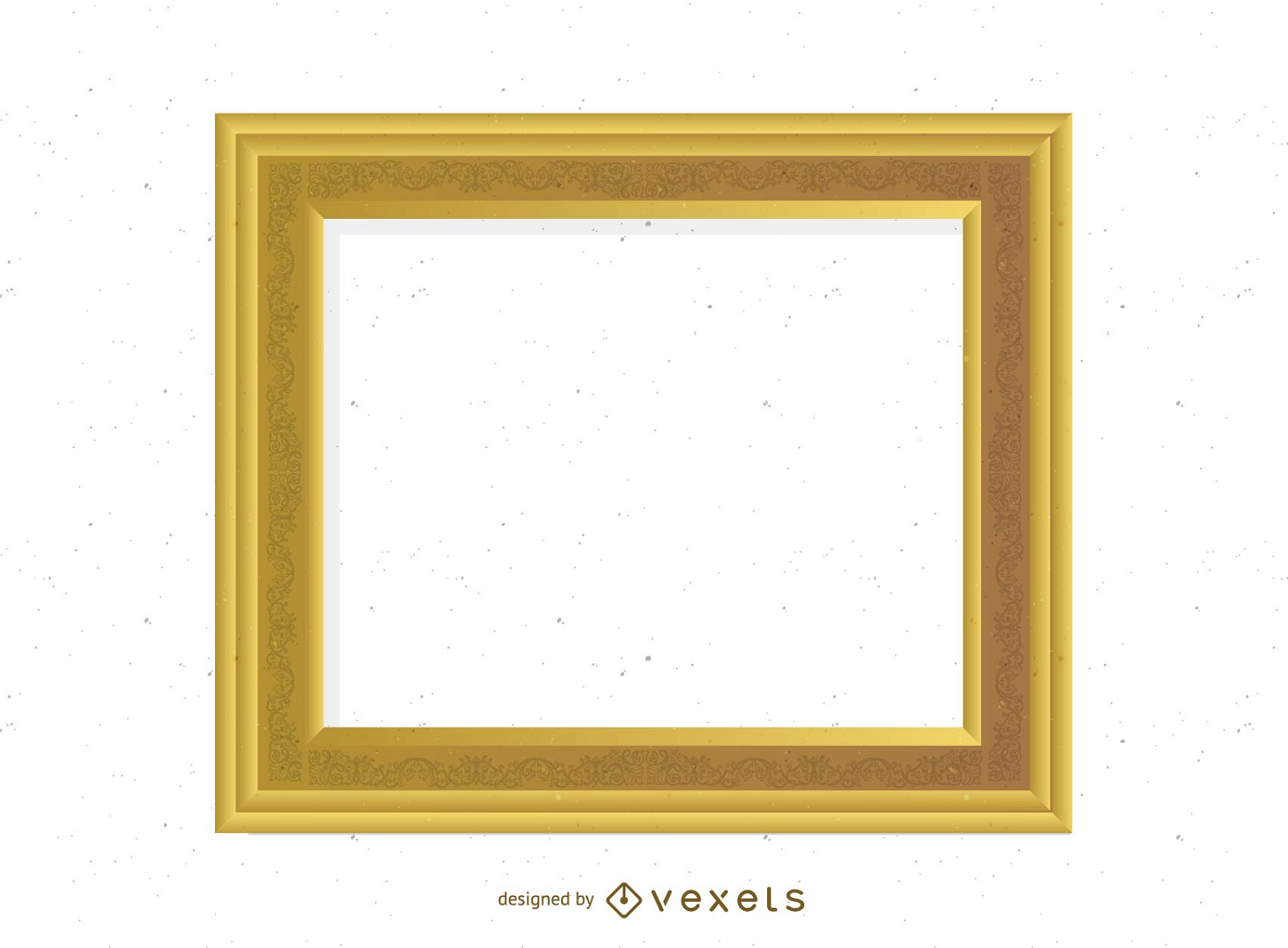
Motivos de marco elegantes Diseño PNG
Elija una carpeta
Todos los favoritos
Crear Nueva
Guardar
Motivos de marco elegantes Diseño PNG
Premium
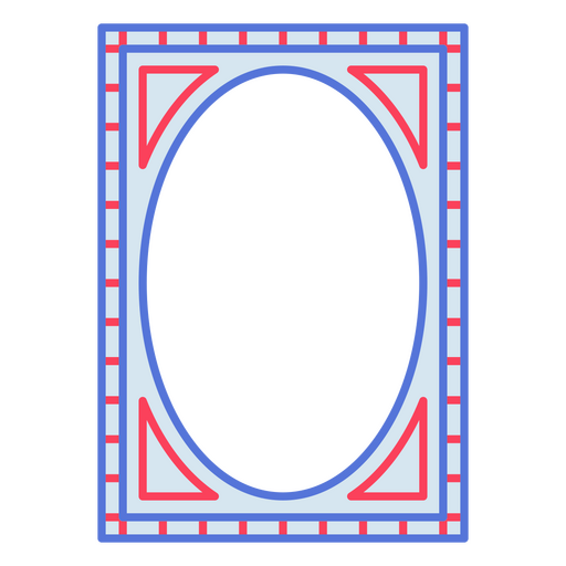
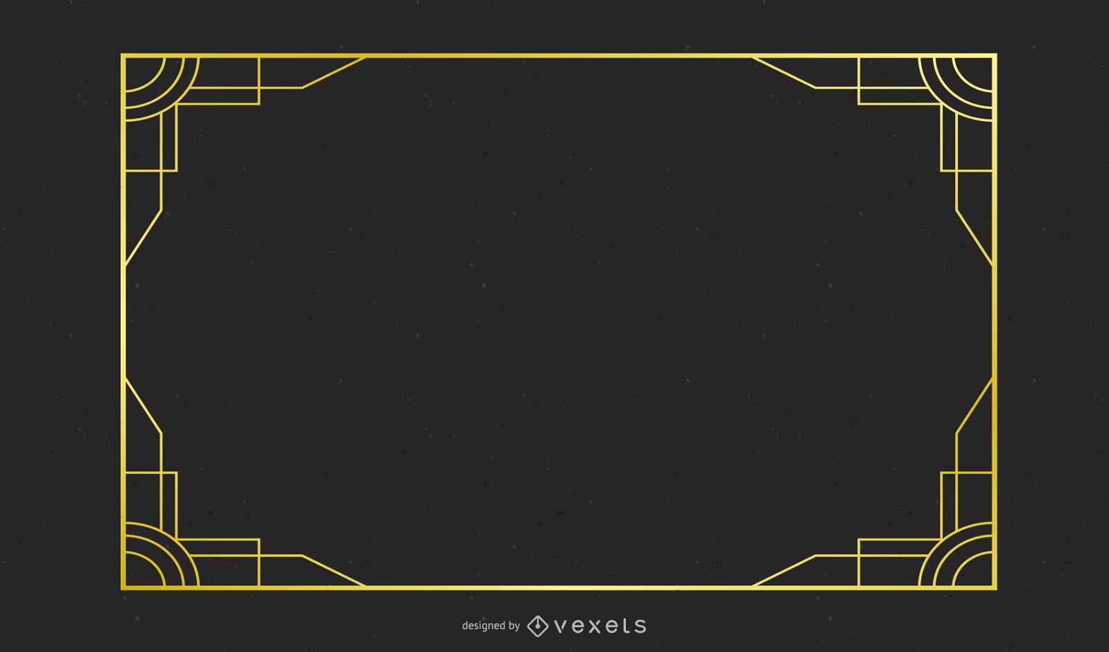
Detalles del marco vanguardista Diseño PNG
Elija una carpeta
Todos los favoritos
Crear Nueva
Guardar
Detalles del marco vanguardista Diseño PNG
Premium
Marcos de líneas delicadas Diseño PNG
Elija una carpeta
Todos los favoritos
Crear Nueva
Guardar
Marcos de líneas delicadas Diseño PNG
Premium
Acentos de marco contemporáneos Diseño PNG
Elija una carpeta
Todos los favoritos
Crear Nueva
Guardar
Acentos de marco contemporáneos Diseño PNG
Premium
Bordes de marco modernos Diseño PNG
Elija una carpeta
Todos los favoritos
Crear Nueva
Guardar
Bordes de marco modernos Diseño PNG
Premium
Obra de arte de marco geométrico Diseño PNG
Elija una carpeta
Todos los favoritos
Crear Nueva
Guardar
Obra de arte de marco geométrico Diseño PNG
Premium
Marcos de líneas llamativas Diseño PNG
Elija una carpeta
Todos los favoritos
Crear Nueva
Guardar
Marcos de líneas llamativas Diseño PNG
Premium
Marcos de líneas caprichosas Diseño PNG
Elija una carpeta
Todos los favoritos
Crear Nueva
Guardar
Marcos de líneas caprichosas Diseño PNG
Premium
Ilustraciones de marcos llamativos Diseño PNG
Elija una carpeta
Todos los favoritos
Crear Nueva
Guardar
Ilustraciones de marcos llamativos Diseño PNG
Premium
Marcos de línea retro Diseño PNG
Elija una carpeta
Todos los favoritos
Crear Nueva
Guardar
Marcos de línea retro Diseño PNG
Premium
Marco de línea decorativa Diseño PNG
Elija una carpeta
Todos los favoritos
Crear Nueva
Guardar
Marco de línea decorativa Diseño PNG
Premium
Marcos de línea artística Diseño PNG
Elija una carpeta
Todos los favoritos
Crear Nueva
Guardar
Marcos de línea artística Diseño PNG
Premium
Marco de línea elegante Diseño PNG
Elija una carpeta
Todos los favoritos
Crear Nueva
Guardar
Marco de línea elegante Diseño PNG
Premium
Marco de línea lúdica Diseño PNG
Elija una carpeta
Todos los favoritos
Crear Nueva
Guardar
Marco de línea lúdica Diseño PNG
Premium
Marcos de líneas geométricas Diseño PNG
Elija una carpeta
Todos los favoritos
Crear Nueva
Guardar
Marcos de líneas geométricas Diseño PNG
Premium
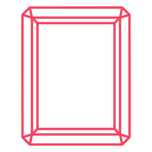
Marco de línea nítida Diseño PNG
Elija una carpeta
Todos los favoritos
Crear Nueva
Guardar
Marco de línea nítida Diseño PNG
Premium
Sutiles acentos de marco Diseño PNG
Elija una carpeta
Todos los favoritos
Crear Nueva
Guardar
Sutiles acentos de marco Diseño PNG
Premium
Detalles de marco vanguardistas y clásicos. Diseño PNG
Elija una carpeta
Todos los favoritos
Crear Nueva
Guardar
Detalles de marco vanguardistas y clásicos. Diseño PNG
Premium
Marcos de líneas elegantes e intrincados Diseño PNG
Elija una carpeta
Todos los favoritos
Crear Nueva
Guardar
Marcos de líneas elegantes e intrincados Diseño PNG
Premium
Marcos de líneas elegantes Diseño PNG
Elija una carpeta
Todos los favoritos
Crear Nueva
Guardar
Marcos de líneas elegantes Diseño PNG
Premium
Marcos de líneas geométricas y florales. Diseño PNG
Elija una carpeta
Todos los favoritos
Crear Nueva
Guardar
Marcos de líneas geométricas y florales. Diseño PNG
Premium
Marcos con motivos de la naturaleza Diseño PNG
Elija una carpeta
Todos los favoritos
Crear Nueva
Guardar
Marcos con motivos de la naturaleza Diseño PNG
Premium
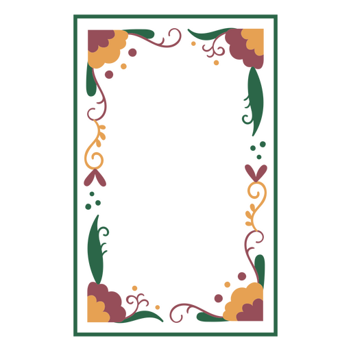
Adornos de marco con motivos de la naturaleza Diseño PNG
Elija una carpeta
Todos los favoritos
Crear Nueva
Guardar
Adornos de marco con motivos de la naturaleza Diseño PNG
Premium
Delicados adornos de marco con motivos naturales. Diseño PNG
Elija una carpeta
Todos los favoritos
Crear Nueva
Guardar
Delicados adornos de marco con motivos naturales. Diseño PNG
Premium
Composiciones de marcos refinados y floridos. Diseño PNG
Elija una carpeta
Todos los favoritos
Crear Nueva
Guardar
Composiciones de marcos refinados y floridos. Diseño PNG
Dreidel silueta detallada Diseño PNG
Elija una carpeta
Todos los favoritos
Crear Nueva
Guardar
Dreidel silueta detallada Diseño PNG
Golpe plano de Dreidel Diseño PNG
Elija una carpeta
Todos los favoritos
Crear Nueva
Guardar
Golpe plano de Dreidel Diseño PNG
Silueta detallada estrella Dreidel Diseño PNG
Elija una carpeta
Todos los favoritos
Crear Nueva
Guardar
Silueta detallada estrella Dreidel Diseño PNG
Golpe Dreidel plano Diseño PNG
Elija una carpeta
Todos los favoritos
Crear Nueva
Guardar
Golpe Dreidel plano Diseño PNG
Premium
Silueta de archivo de borde de hoja de cuchillo Diseño PNG
Elija una carpeta
Todos los favoritos
Crear Nueva
Guardar
Silueta de archivo de borde de hoja de cuchillo Diseño PNG
Premium
Filo de hoja de cuchillo sscimitar silueta Diseño PNG
Elija una carpeta
Todos los favoritos
Crear Nueva
Guardar
Filo de hoja de cuchillo sscimitar silueta Diseño PNG
Premium
Silueta estrella 15 Diseño PNG
Elija una carpeta
Todos los favoritos
Crear Nueva
Guardar
Silueta estrella 15 Diseño PNG
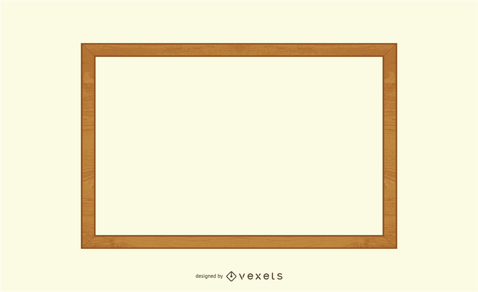
Vector de marco de madera 2
Elija una carpeta
Todos los favoritos
Crear Nueva
Guardar
Vector de marco de madera 2
Vector de marco de oro antiguo 02
Elija una carpeta
Todos los favoritos
Crear Nueva
Guardar
Vector de marco de oro antiguo 02
Vector de marco de oro antiguo 03
Elija una carpeta
Todos los favoritos
Crear Nueva
Guardar
Vector de marco de oro antiguo 03
Gráfico vectorial de engranajes de color abstracto
Elija una carpeta
Todos los favoritos
Crear Nueva
Guardar
Gráfico vectorial de engranajes de color abstracto
Vector de marco simple
Elija una carpeta
Todos los favoritos
Crear Nueva
Guardar
Vector de marco simple
Marco dorado ornamentado antiguo
Elija una carpeta
Todos los favoritos
Crear Nueva
Guardar
Marco dorado ornamentado antiguo
Marco dorado decorativo antiguo
Elija una carpeta
Todos los favoritos
Crear Nueva
Guardar
Marco dorado decorativo antiguo
Fondo negro floral 3
Elija una carpeta
Todos los favoritos
Crear Nueva
Guardar
Fondo negro floral 3
Marco de oro antiguo 04 Vector
Elija una carpeta
Todos los favoritos
Crear Nueva
Guardar
Marco de oro antiguo 04 Vector
Banner de marco cuadrado negro sucio
Elija una carpeta
Todos los favoritos
Crear Nueva
Guardar
Banner de marco cuadrado negro sucio
Precioso vector de borde de encaje dorado 4
Elija una carpeta
Todos los favoritos
Crear Nueva
Guardar
Precioso vector de borde de encaje dorado 4
Tarjeta floral decorativa del día de la madre
Elija una carpeta
Todos los favoritos
Crear Nueva
Guardar
Tarjeta floral decorativa del día de la madre
Foto
Elija una carpeta
Todos los favoritos
Crear Nueva
Guardar
Foto
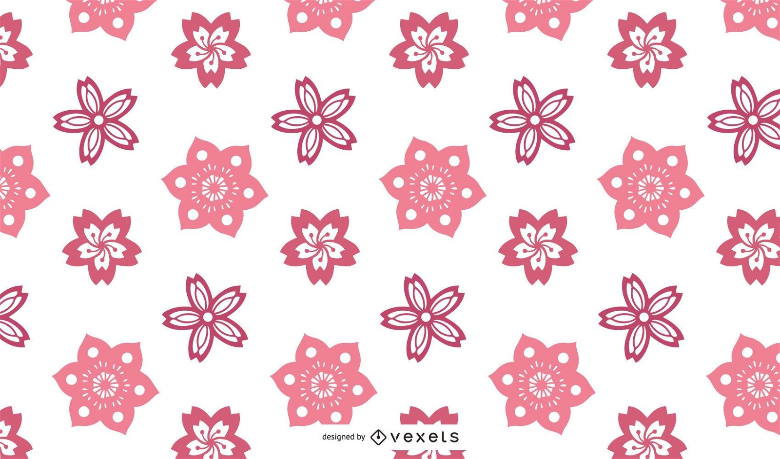
Vector diseño de flor de cerezo
Elija una carpeta
Todos los favoritos
Crear Nueva
Guardar
Vector diseño de flor de cerezo
Fondo verde volteado
Elija una carpeta
Todos los favoritos
Crear Nueva
Guardar
Fondo verde volteado
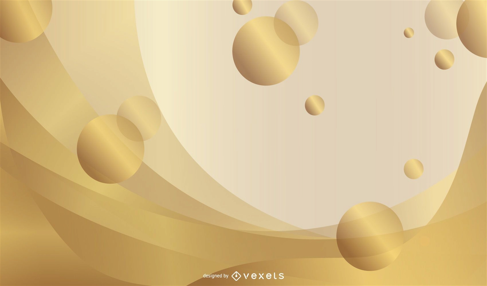
Fondo abstracto con curvas de vanguardia
Elija una carpeta
Todos los favoritos
Crear Nueva
Guardar
Fondo abstracto con curvas de vanguardia
Hermosa plantilla de tarjeta de aniversario
Elija una carpeta
Todos los favoritos
Crear Nueva
Guardar
Hermosa plantilla de tarjeta de aniversario
Impulsa tu negocio
Con la plataforma gráfica líder para merch.
Ver planes
Siguiente
de 11
prev page
next page