Biblioteca de Diseños
Nuevos Diseños Merch
Camisetas
Vectores
Diseños en tendencias de Merch
PNGs & SVGs
Mockups
Plantillas PSD de diseño de camisetas
Explorar Diseños
Diseños KDP
Posters
Tazas
Fundas para teléfonos
Bolsas de mano
Cojines
Herramientas de diseño
Merch Designer
Nuevo!
Mockup Generator
Generador de Diseño de IA
Vectorizador
Quote Generator
T-Shirt Maker (Antigua)
Ayuda
Merch Digest
Blog
Centro de Ayuda
Más información sobre Merch
Comentarios
Soluciones Corporativas
Empresa
Acceso a la API
Estudio de Diseño
Diseño a Gran Escala
Precios
Cargando...
Registrarse
Iniciar sesión
All
map
Biblioteca de Diseños
Nuevos Diseños Merch
Camisetas
Vectores
Diseños en tendencias de Merch
PNGs & SVGs
Mockups
Plantillas PSD de diseño de camisetas
Explorar Diseños
Diseños KDP
Posters
Tazas
Fundas para teléfonos
Bolsas de mano
Cojines
Herramientas de diseño
Merch Designer
Nuevo!
Mockup Generator
Generador de Diseño de IA
Vectorizador
Quote Generator
T-Shirt Maker (Antigua)
Ayuda
Merch Digest
Blog
Centro de Ayuda
Más información sobre Merch
Comentarios
Soluciones Corporativas
Empresa
Acceso a la API
Estudio de Diseño
Diseño a Gran Escala
PLANES
All
map
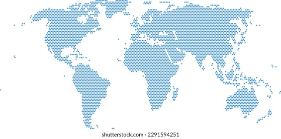
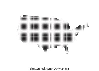
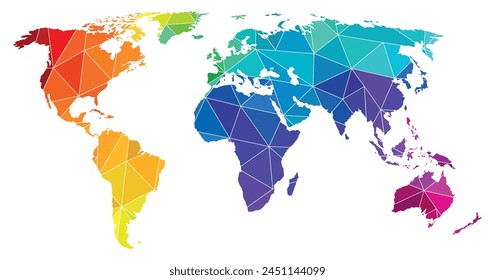
1906 Diseños gráficos de map para Print On Demand Merch
Descarga diseños de camisetas de map y otros gráficos Merch como portadas de libros, carcasas para teléfonos, bolsas de mano y más.
Relacionado:
mapa
,
mapas
,
mapa global
Ordenado por
Más relevante
Resultados patrocinados por
Obtén un 15% de descuento con el código: VEXELS15
ver más
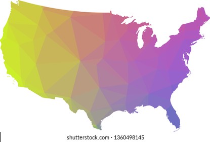
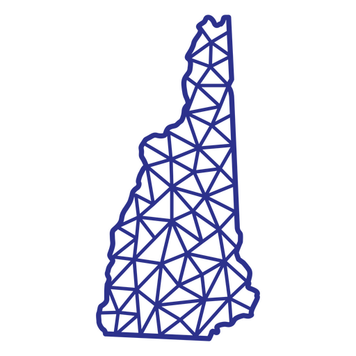
Mapa poligonal de New Hampshire Diseño PNG
Elija una carpeta
Todos los favoritos
Crear Nueva
Guardar
Mapa poligonal de New Hampshire Diseño PNG
Mapa de nueva york poligonal Diseño PNG
Elija una carpeta
Todos los favoritos
Crear Nueva
Guardar
Mapa de nueva york poligonal Diseño PNG
Oklahoma mapa poligonal Diseño PNG
Elija una carpeta
Todos los favoritos
Crear Nueva
Guardar
Oklahoma mapa poligonal Diseño PNG
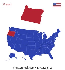
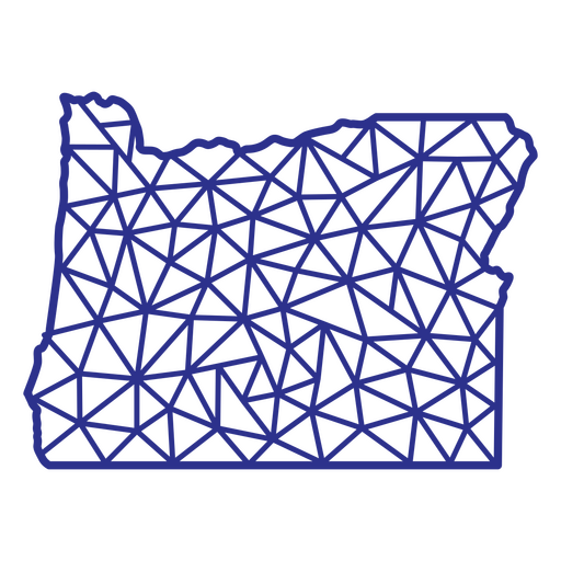
Oregón mapa poligonal Diseño PNG
Elija una carpeta
Todos los favoritos
Crear Nueva
Guardar
Oregón mapa poligonal Diseño PNG
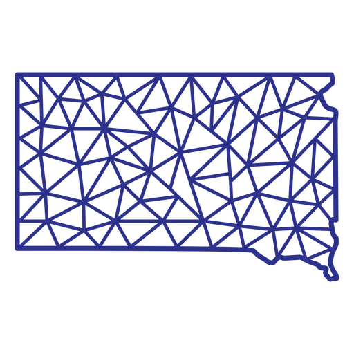
Mapa poligonal de dakota del sur Diseño PNG
Elija una carpeta
Todos los favoritos
Crear Nueva
Guardar
Mapa poligonal de dakota del sur Diseño PNG
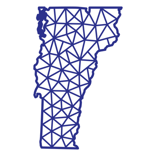
Vermont mapa poligonal Diseño PNG
Elija una carpeta
Todos los favoritos
Crear Nueva
Guardar
Vermont mapa poligonal Diseño PNG
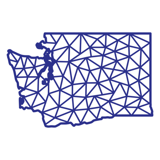
Washington mapa poligonal Diseño PNG
Elija una carpeta
Todos los favoritos
Crear Nueva
Guardar
Washington mapa poligonal Diseño PNG
Wyoming mapa poligonal Diseño PNG
Elija una carpeta
Todos los favoritos
Crear Nueva
Guardar
Wyoming mapa poligonal Diseño PNG
Alaska usa mapa poligonal Diseño PNG
Elija una carpeta
Todos los favoritos
Crear Nueva
Guardar
Alaska usa mapa poligonal Diseño PNG
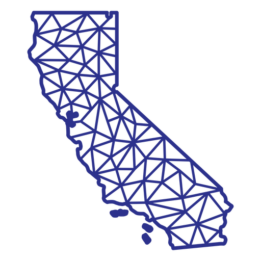
California mapa poligonal Diseño PNG
Elija una carpeta
Todos los favoritos
Crear Nueva
Guardar
California mapa poligonal Diseño PNG
Colorado mapa poligonal Diseño PNG
Elija una carpeta
Todos los favoritos
Crear Nueva
Guardar
Colorado mapa poligonal Diseño PNG
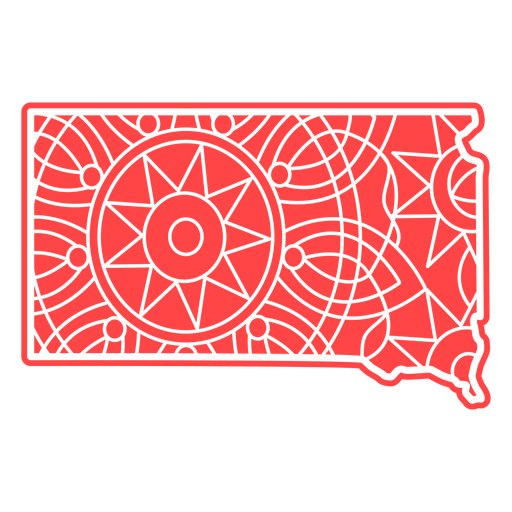
Mapa de Mandala de Dakota del Sur Diseño PNG
Elija una carpeta
Todos los favoritos
Crear Nueva
Guardar
Mapa de Mandala de Dakota del Sur Diseño PNG
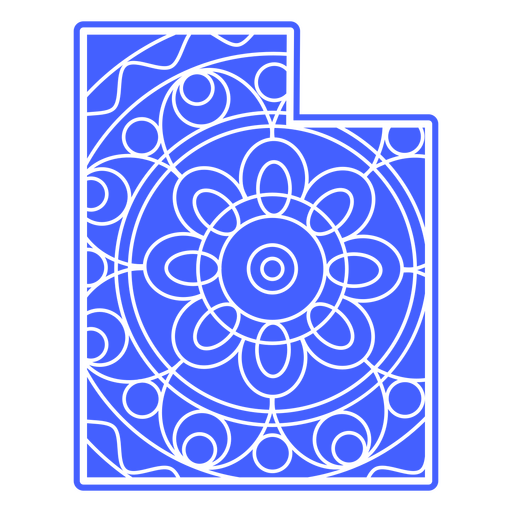
Mapa de mandalas de Utah Diseño PNG
Elija una carpeta
Todos los favoritos
Crear Nueva
Guardar
Mapa de mandalas de Utah Diseño PNG
Mapa de mandalas de Vermont Diseño PNG
Elija una carpeta
Todos los favoritos
Crear Nueva
Guardar
Mapa de mandalas de Vermont Diseño PNG
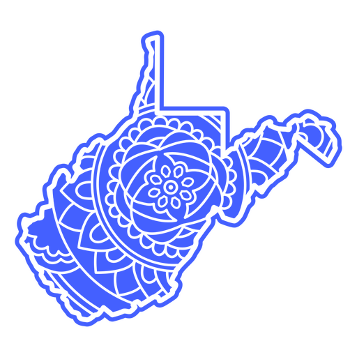
Mapa de mandala de Virginia Occidental Diseño PNG
Elija una carpeta
Todos los favoritos
Crear Nueva
Guardar
Mapa de mandala de Virginia Occidental Diseño PNG
Mandala del mapa de Indiana Diseño PNG
Elija una carpeta
Todos los favoritos
Crear Nueva
Guardar
Mandala del mapa de Indiana Diseño PNG
Mandala del mapa de Kansas Diseño PNG
Elija una carpeta
Todos los favoritos
Crear Nueva
Guardar
Mandala del mapa de Kansas Diseño PNG
Mandala del mapa de Kentucky Diseño PNG
Elija una carpeta
Todos los favoritos
Crear Nueva
Guardar
Mandala del mapa de Kentucky Diseño PNG
Mandala del mapa de Maine Diseño PNG
Elija una carpeta
Todos los favoritos
Crear Nueva
Guardar
Mandala del mapa de Maine Diseño PNG
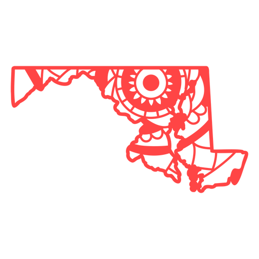
Mandala del mapa de Maryland Diseño PNG
Elija una carpeta
Todos los favoritos
Crear Nueva
Guardar
Mandala del mapa de Maryland Diseño PNG
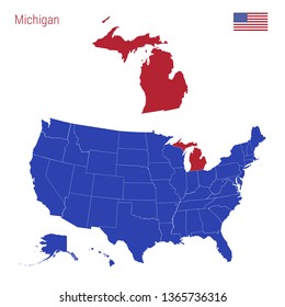
Mándala del mapa de Míchigan Diseño PNG
Elija una carpeta
Todos los favoritos
Crear Nueva
Guardar
Mándala del mapa de Míchigan Diseño PNG
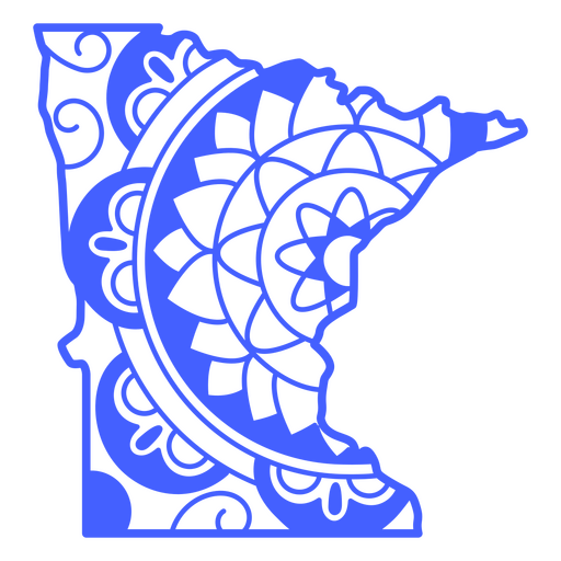
Mándala del mapa de Minnesota Diseño PNG
Elija una carpeta
Todos los favoritos
Crear Nueva
Guardar
Mándala del mapa de Minnesota Diseño PNG
Misuri mapa mandala Diseño PNG
Elija una carpeta
Todos los favoritos
Crear Nueva
Guardar
Misuri mapa mandala Diseño PNG
Mapa de mandalas de Wyoming Diseño PNG
Elija una carpeta
Todos los favoritos
Crear Nueva
Guardar
Mapa de mandalas de Wyoming Diseño PNG
Mapa de trazo lleno de bandera americana del estado de Massachusetts Diseño PNG
Elija una carpeta
Todos los favoritos
Crear Nueva
Guardar
Mapa de trazo lleno de bandera americana del estado de Massachusetts Diseño PNG
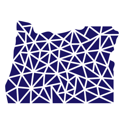
Mapa poligonal del estado de Oregón Diseño PNG
Elija una carpeta
Todos los favoritos
Crear Nueva
Guardar
Mapa poligonal del estado de Oregón Diseño PNG
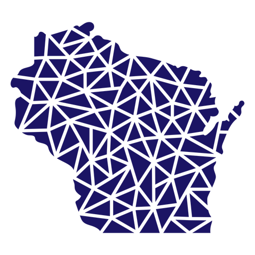
Mapa poligonal del estado de Wisconsin Diseño PNG
Elija una carpeta
Todos los favoritos
Crear Nueva
Guardar
Mapa poligonal del estado de Wisconsin Diseño PNG
Mapa poligonal del estado de Montana Diseño PNG
Elija una carpeta
Todos los favoritos
Crear Nueva
Guardar
Mapa poligonal del estado de Montana Diseño PNG
Mapa poligonal de Virginia Occidental Diseño PNG
Elija una carpeta
Todos los favoritos
Crear Nueva
Guardar
Mapa poligonal de Virginia Occidental Diseño PNG
Mapa de trazo lleno de bandera americana del estado de Iowa Diseño PNG
Elija una carpeta
Todos los favoritos
Crear Nueva
Guardar
Mapa de trazo lleno de bandera americana del estado de Iowa Diseño PNG
Premium
Mapa de silueta estilizada de Suiza Diseño PNG
Elija una carpeta
Todos los favoritos
Crear Nueva
Guardar
Mapa de silueta estilizada de Suiza Diseño PNG
Premium
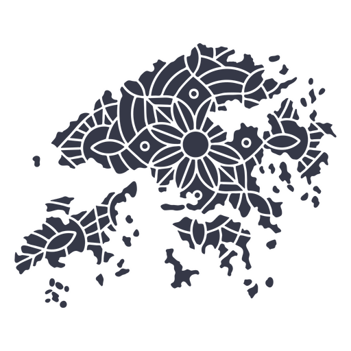
Silueta estilizada del mapa de la isla de Hong Kong Diseño PNG
Elija una carpeta
Todos los favoritos
Crear Nueva
Guardar
Silueta estilizada del mapa de la isla de Hong Kong Diseño PNG
Premium
Diseño de mapa de país con contorno negro simple Diseño PNG
Elija una carpeta
Todos los favoritos
Crear Nueva
Guardar
Diseño de mapa de país con contorno negro simple Diseño PNG
Premium
Mapa minimalista de Hong Kong Diseño PNG
Elija una carpeta
Todos los favoritos
Crear Nueva
Guardar
Mapa minimalista de Hong Kong Diseño PNG
Silueta de mapa de mississipi usa Diseño PNG
Elija una carpeta
Todos los favoritos
Crear Nueva
Guardar
Silueta de mapa de mississipi usa Diseño PNG
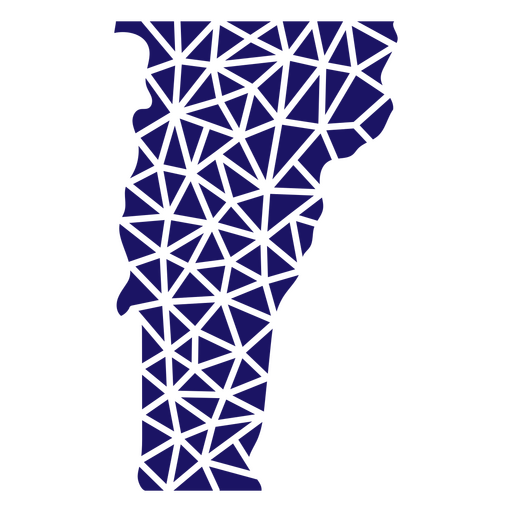
Mapa poligonal del estado de Vermont Diseño PNG
Elija una carpeta
Todos los favoritos
Crear Nueva
Guardar
Mapa poligonal del estado de Vermont Diseño PNG
Mapa poligonal del estado de Virginia Diseño PNG
Elija una carpeta
Todos los favoritos
Crear Nueva
Guardar
Mapa poligonal del estado de Virginia Diseño PNG
Mapa poligonal del estado de Nebraska Diseño PNG
Elija una carpeta
Todos los favoritos
Crear Nueva
Guardar
Mapa poligonal del estado de Nebraska Diseño PNG
Mapa poligonal del estado de Tennessee Diseño PNG
Elija una carpeta
Todos los favoritos
Crear Nueva
Guardar
Mapa poligonal del estado de Tennessee Diseño PNG
Mapa poligonal de Pennsylvania Diseño PNG
Elija una carpeta
Todos los favoritos
Crear Nueva
Guardar
Mapa poligonal de Pennsylvania Diseño PNG
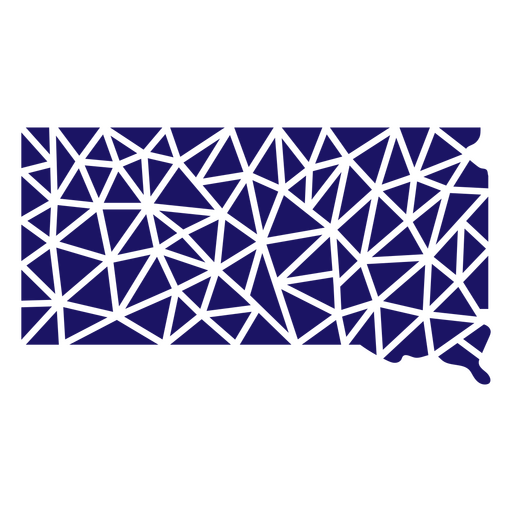
Mapa poligonal de Dakota del Sur Diseño PNG
Elija una carpeta
Todos los favoritos
Crear Nueva
Guardar
Mapa poligonal de Dakota del Sur Diseño PNG
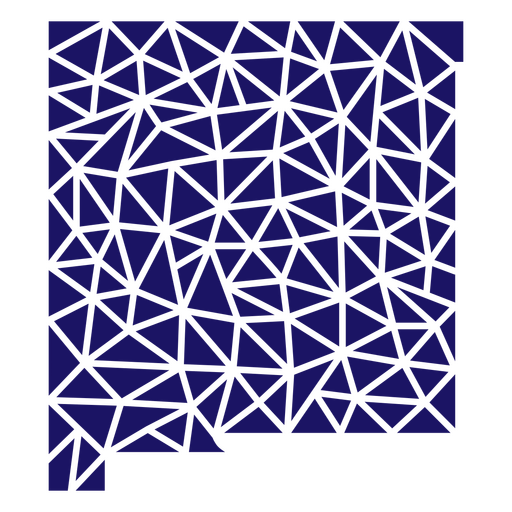
Mapa poligonal de Nuevo México Diseño PNG
Elija una carpeta
Todos los favoritos
Crear Nueva
Guardar
Mapa poligonal de Nuevo México Diseño PNG
Mapa poligonal del estado de Kansas Diseño PNG
Elija una carpeta
Todos los favoritos
Crear Nueva
Guardar
Mapa poligonal del estado de Kansas Diseño PNG
Trazo lleno de mapa de Idaho Diseño PNG
Elija una carpeta
Todos los favoritos
Crear Nueva
Guardar
Trazo lleno de mapa de Idaho Diseño PNG
Mapa de trazo lleno de bandera americana del estado de Maryland Diseño PNG
Elija una carpeta
Todos los favoritos
Crear Nueva
Guardar
Mapa de trazo lleno de bandera americana del estado de Maryland Diseño PNG
Trazo lleno de mapa de Arizona Diseño PNG
Elija una carpeta
Todos los favoritos
Crear Nueva
Guardar
Trazo lleno de mapa de Arizona Diseño PNG
Mapa de barras y estrellas de Delaware Diseño PNG
Elija una carpeta
Todos los favoritos
Crear Nueva
Guardar
Mapa de barras y estrellas de Delaware Diseño PNG
Mandala de silueta de mapa de Hong Kong recortada Diseño PNG
Elija una carpeta
Todos los favoritos
Crear Nueva
Guardar
Mandala de silueta de mapa de Hong Kong recortada Diseño PNG
Irlanda mapa silueta mandala recortada Diseño PNG
Elija una carpeta
Todos los favoritos
Crear Nueva
Guardar
Irlanda mapa silueta mandala recortada Diseño PNG
Frases del cuarto de julio en EE.UU.Forma gruesa Retro-Vinyl-CR - 3 Diseño PNG
Elija una carpeta
Todos los favoritos
Crear Nueva
Guardar
Frases del cuarto de julio en EE.UU.Forma gruesa Retro-Vinyl-CR - 3 Diseño PNG
Impulsa tu negocio
Con la plataforma gráfica líder para merch.
Ver planes
Siguiente
de 39
prev page
next page