Biblioteca de Diseños
Nuevos Diseños Merch
Camisetas
Vectores
Diseños en tendencias de Merch
PNGs & SVGs
Mockups
Plantillas PSD de diseño de camisetas
Explorar Diseños
Diseños KDP
Posters
Tazas
Fundas para teléfonos
Bolsas de mano
Cojines
Herramientas de diseño
Merch Designer
Nuevo!
Mockup Generator
Generador de Diseño de IA
Vectorizador
Quote Generator
T-Shirt Maker (Antigua)
Ayuda
Merch Digest
Blog
Centro de Ayuda
Más información sobre Merch
Comentarios
Soluciones Corporativas
Empresa
Acceso a la API
Estudio de Diseño
Diseño a Gran Escala
Precios
Cargando...
Registrarse
Iniciar sesión
All
map
Biblioteca de Diseños
Nuevos Diseños Merch
Camisetas
Vectores
Diseños en tendencias de Merch
PNGs & SVGs
Mockups
Plantillas PSD de diseño de camisetas
Explorar Diseños
Diseños KDP
Posters
Tazas
Fundas para teléfonos
Bolsas de mano
Cojines
Herramientas de diseño
Merch Designer
Nuevo!
Mockup Generator
Generador de Diseño de IA
Vectorizador
Quote Generator
T-Shirt Maker (Antigua)
Ayuda
Merch Digest
Blog
Centro de Ayuda
Más información sobre Merch
Comentarios
Soluciones Corporativas
Empresa
Acceso a la API
Estudio de Diseño
Diseño a Gran Escala
PLANES
All
map
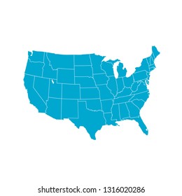
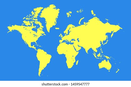
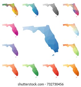
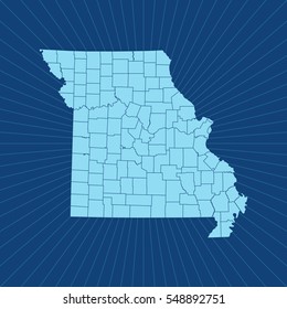
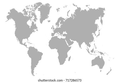
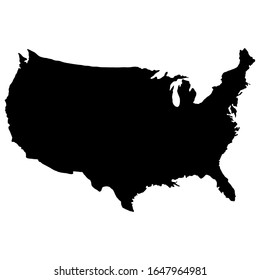
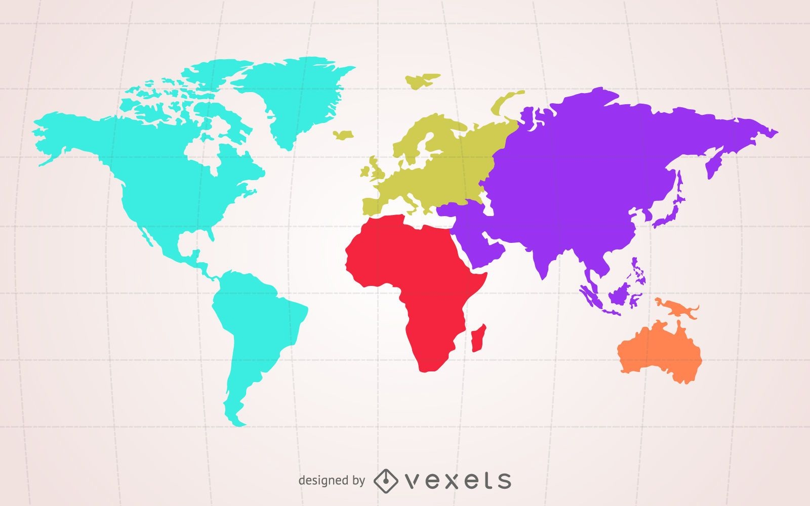
1906 Diseños gráficos de map para Print On Demand Merch
Descarga diseños de camisetas de map y otros gráficos Merch como portadas de libros, carcasas para teléfonos, bolsas de mano y más.
Relacionado:
mapa
,
mapas
,
mapa global
Ordenado por
Más relevante
Resultados patrocinados por
Obtén un 15% de descuento con el código: VEXELS15
ver más
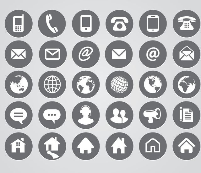
Iconos de contacto redondeados
Elija una carpeta
Todos los favoritos
Crear Nueva
Guardar
Iconos de contacto redondeados
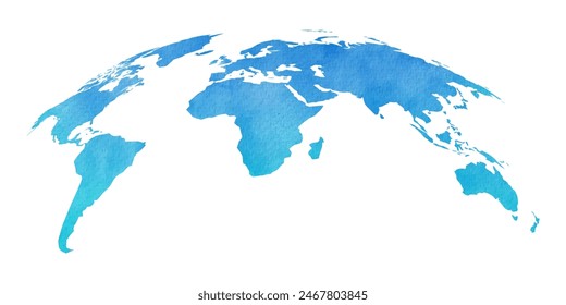
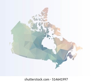
Silueta de mapamundi color crema
Elija una carpeta
Todos los favoritos
Crear Nueva
Guardar
Silueta de mapamundi color crema
Editar en línea
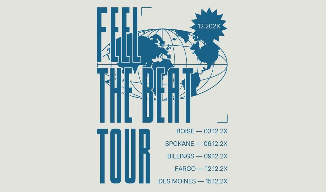
Plantilla de diseño para camiseta Diseño de cartel de gira con la frase "siente el ritmo"
Elija una carpeta
Todos los favoritos
Crear Nueva
Guardar
Plantilla de diseño para camiseta Diseño de cartel de gira con la frase "siente el ritmo"
Premium
Diseño de esquema abstracto del continente australiano para proyectos creativos. Diseño PNG
Elija una carpeta
Todos los favoritos
Crear Nueva
Guardar
Diseño de esquema abstracto del continente australiano para proyectos creativos. Diseño PNG
Premium
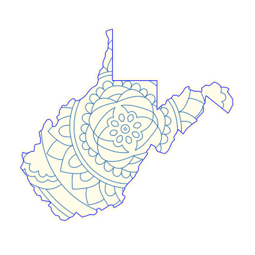
Diseño intrincado de mapa de mandala de Virginia Occidental Diseño PNG
Elija una carpeta
Todos los favoritos
Crear Nueva
Guardar
Diseño intrincado de mapa de mandala de Virginia Occidental Diseño PNG
Premium
La aventura te espera más allá del horizonte. Diseño Diseño PNG
Elija una carpeta
Todos los favoritos
Crear Nueva
Guardar
La aventura te espera más allá del horizonte. Diseño Diseño PNG
Premium
Mapa de silueta estilizada de Nigeria Diseño PNG
Elija una carpeta
Todos los favoritos
Crear Nueva
Guardar
Mapa de silueta estilizada de Nigeria Diseño PNG
Editar en línea
Plantilla de diseño para camiseta Diseño de cita inspiradora del mundo
Elija una carpeta
Todos los favoritos
Crear Nueva
Guardar
Plantilla de diseño para camiseta Diseño de cita inspiradora del mundo
Premium
Diseño geográfico Diseño PNG
Elija una carpeta
Todos los favoritos
Crear Nueva
Guardar
Diseño geográfico Diseño PNG
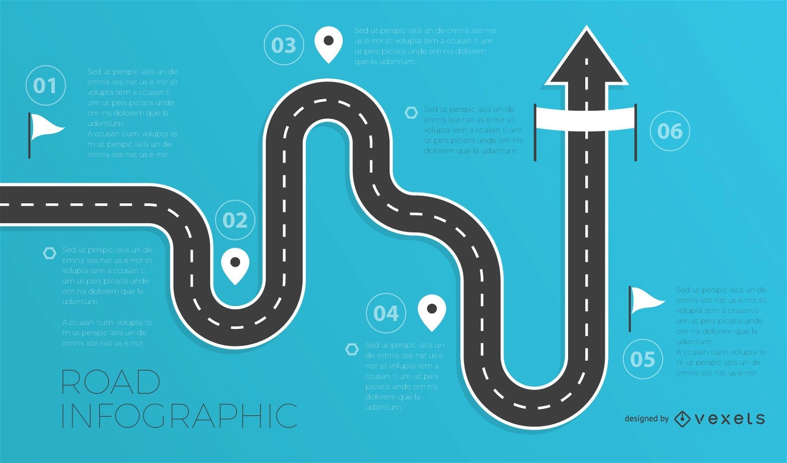
Plantilla de infografías de carreteras
Elija una carpeta
Todos los favoritos
Crear Nueva
Guardar
Plantilla de infografías de carreteras
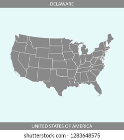
Mapa de trazos del estado de Maine Diseño PNG
Elija una carpeta
Todos los favoritos
Crear Nueva
Guardar
Mapa de trazos del estado de Maine Diseño PNG
para Merch
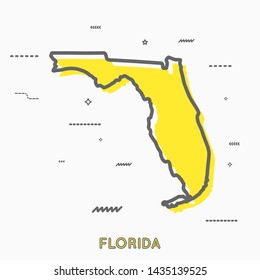
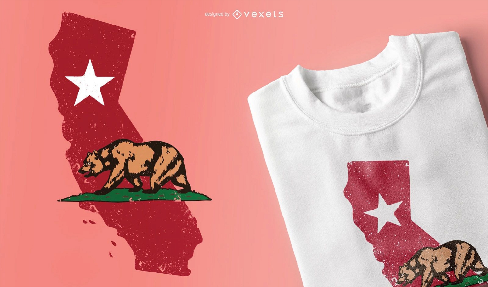
Diseño de camiseta de California
Elija una carpeta
Todos los favoritos
Crear Nueva
Guardar
Diseño de camiseta de California
Mapa de trazos del estado de Washington Diseño PNG
Elija una carpeta
Todos los favoritos
Crear Nueva
Guardar
Mapa de trazos del estado de Washington Diseño PNG
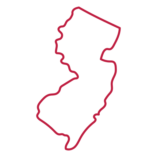
Mapa de trazos del estado de Nueva Jersey Diseño PNG
Elija una carpeta
Todos los favoritos
Crear Nueva
Guardar
Mapa de trazos del estado de Nueva Jersey Diseño PNG
Listo para imprimir
para Merch
Nacido para viajar diseño de camiseta.
Elija una carpeta
Todos los favoritos
Crear Nueva
Guardar
Nacido para viajar diseño de camiseta.
Mapa de trazos del estado de Carolina del Norte Diseño PNG
Elija una carpeta
Todos los favoritos
Crear Nueva
Guardar
Mapa de trazos del estado de Carolina del Norte Diseño PNG
Listo para imprimir
para Merch
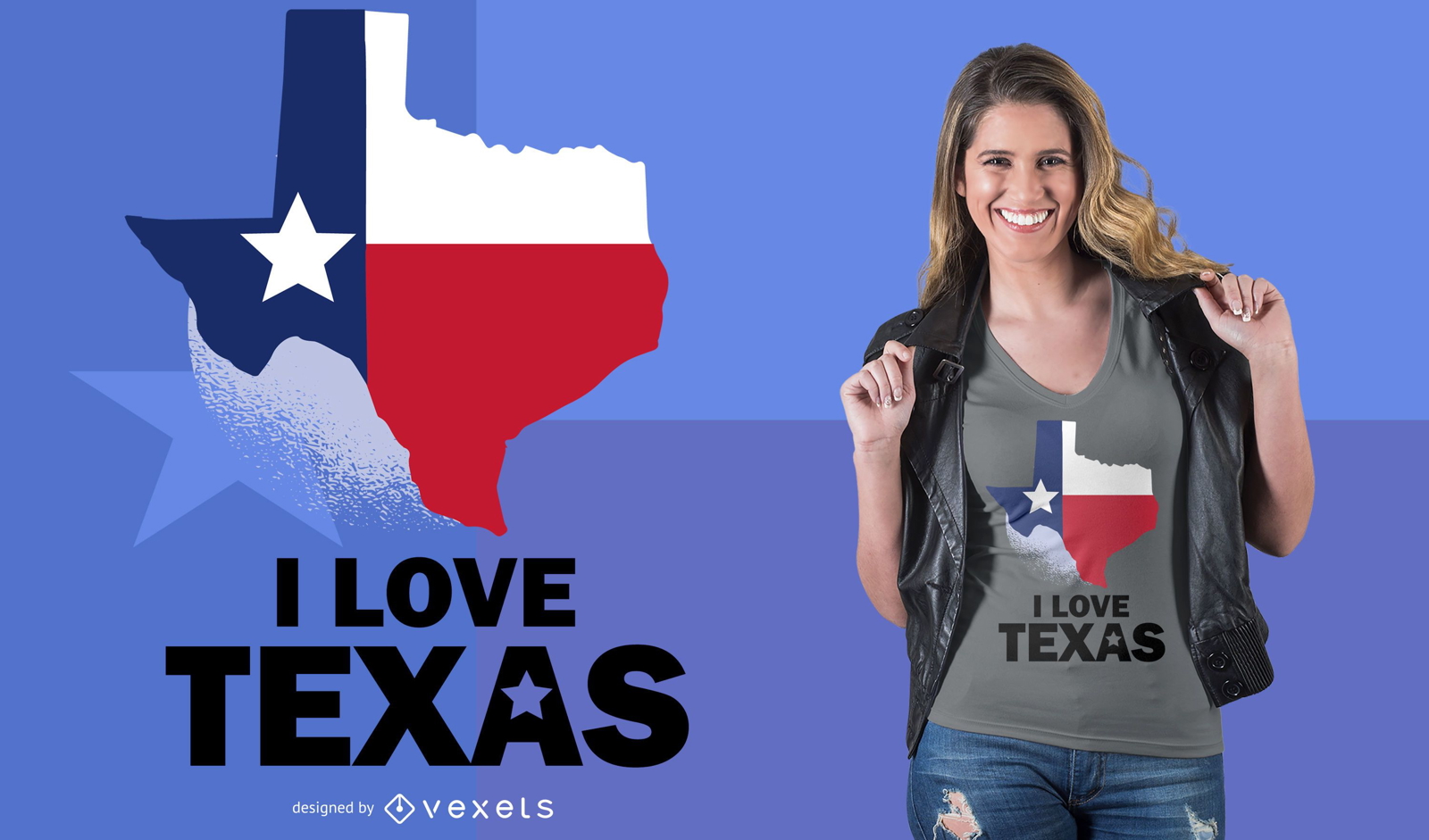
Diseño de camiseta Love Texas
Elija una carpeta
Todos los favoritos
Crear Nueva
Guardar
Diseño de camiseta Love Texas
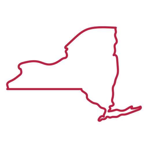
Mapa de trazos del estado de Nueva York Diseño PNG
Elija una carpeta
Todos los favoritos
Crear Nueva
Guardar
Mapa de trazos del estado de Nueva York Diseño PNG
Mapa de trazos del estado de Mississippi Diseño PNG
Elija una carpeta
Todos los favoritos
Crear Nueva
Guardar
Mapa de trazos del estado de Mississippi Diseño PNG
Puntos meridianos de acupuntura con referencia al mapa corporal
Elija una carpeta
Todos los favoritos
Crear Nueva
Guardar
Puntos meridianos de acupuntura con referencia al mapa corporal
Mapa de trazos del estado de Luisiana Diseño PNG
Elija una carpeta
Todos los favoritos
Crear Nueva
Guardar
Mapa de trazos del estado de Luisiana Diseño PNG
Mapa de trazos del estado de Pensilvania Diseño PNG
Elija una carpeta
Todos los favoritos
Crear Nueva
Guardar
Mapa de trazos del estado de Pensilvania Diseño PNG
Texto editable
Listo para imprimir
para Merch
Diseño de camiseta de parques nacionales de EE. UU.
Elija una carpeta
Todos los favoritos
Crear Nueva
Guardar
Diseño de camiseta de parques nacionales de EE. UU.
Mapa de trazos del estado de Massachusetts Diseño PNG
Elija una carpeta
Todos los favoritos
Crear Nueva
Guardar
Mapa de trazos del estado de Massachusetts Diseño PNG
Mapa de trazos del estado de Maryland Diseño PNG
Elija una carpeta
Todos los favoritos
Crear Nueva
Guardar
Mapa de trazos del estado de Maryland Diseño PNG
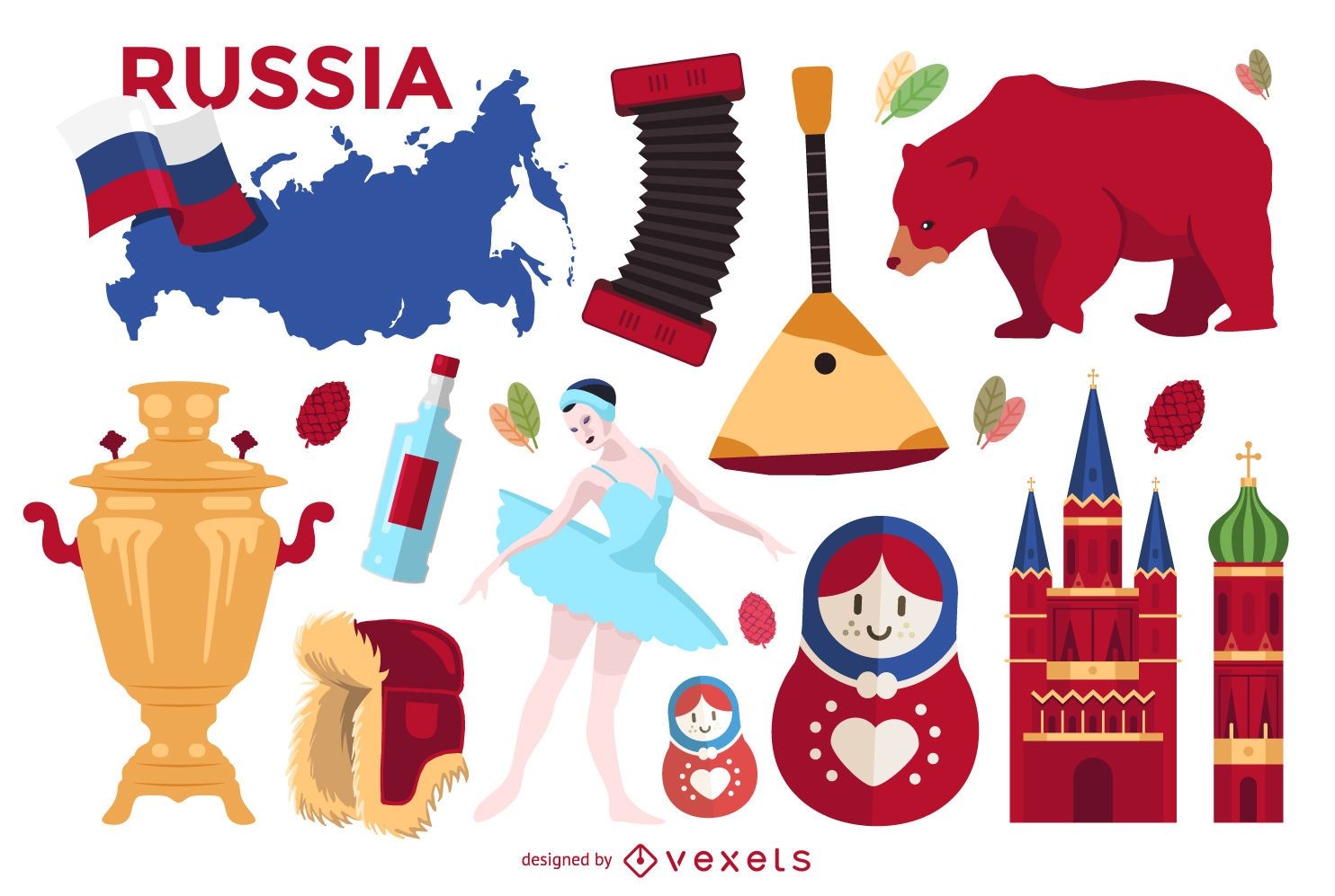
Conjunto de elementos ilustrados de Rusia
Elija una carpeta
Todos los favoritos
Crear Nueva
Guardar
Conjunto de elementos ilustrados de Rusia
Mapa de trazos del estado de Tennessee Diseño PNG
Elija una carpeta
Todos los favoritos
Crear Nueva
Guardar
Mapa de trazos del estado de Tennessee Diseño PNG
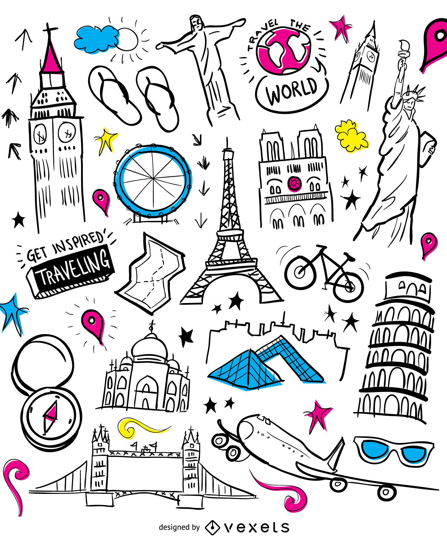
Monumentos de doodle de viajes en avión
Elija una carpeta
Todos los favoritos
Crear Nueva
Guardar
Monumentos de doodle de viajes en avión
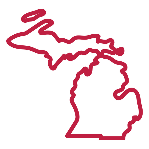
Mapa de trazos del estado de Michigan Diseño PNG
Elija una carpeta
Todos los favoritos
Crear Nueva
Guardar
Mapa de trazos del estado de Michigan Diseño PNG
Mapa mental de infografía inmobiliaria
Elija una carpeta
Todos los favoritos
Crear Nueva
Guardar
Mapa mental de infografía inmobiliaria
Mapa de trazos del estado de Utah Diseño PNG
Elija una carpeta
Todos los favoritos
Crear Nueva
Guardar
Mapa de trazos del estado de Utah Diseño PNG
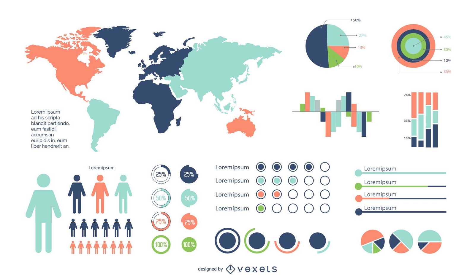
Conjunto de infografía colorido mínimo
Elija una carpeta
Todos los favoritos
Crear Nueva
Guardar
Conjunto de infografía colorido mínimo
Elementos de infografía de colores brillantes
Elija una carpeta
Todos los favoritos
Crear Nueva
Guardar
Elementos de infografía de colores brillantes
Listo para imprimir
para Merch
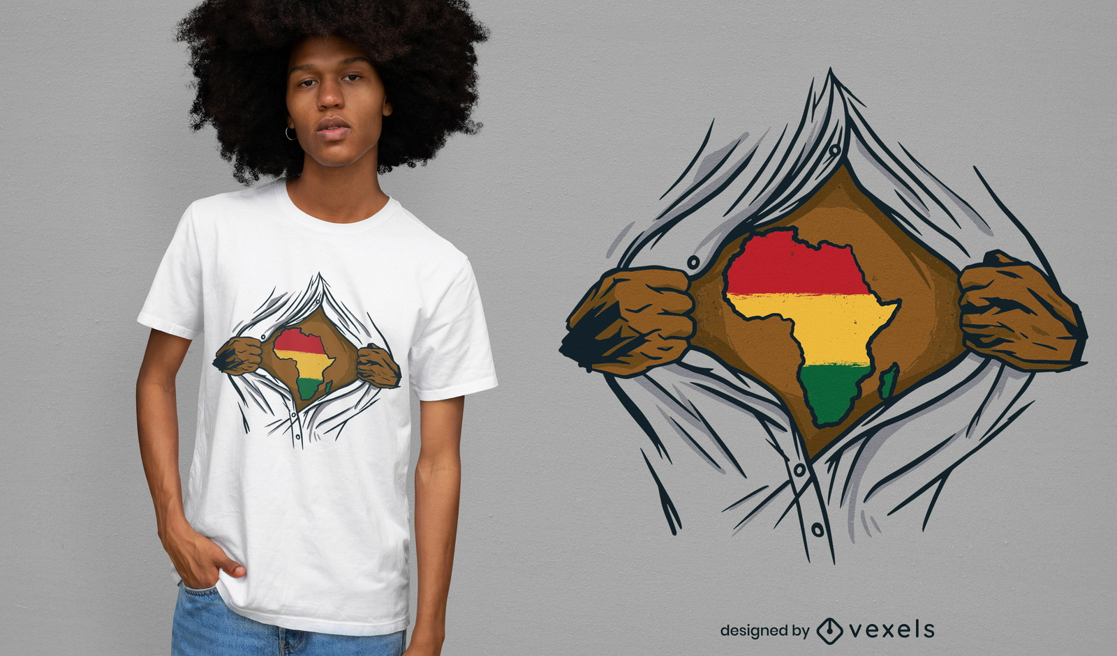
Diseño de camiseta abierta rasgada de África
Elija una carpeta
Todos los favoritos
Crear Nueva
Guardar
Diseño de camiseta abierta rasgada de África
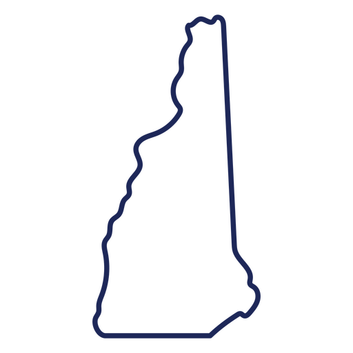
Mapa de trazos del estado de New Hampshire Diseño PNG
Elija una carpeta
Todos los favoritos
Crear Nueva
Guardar
Mapa de trazos del estado de New Hampshire Diseño PNG
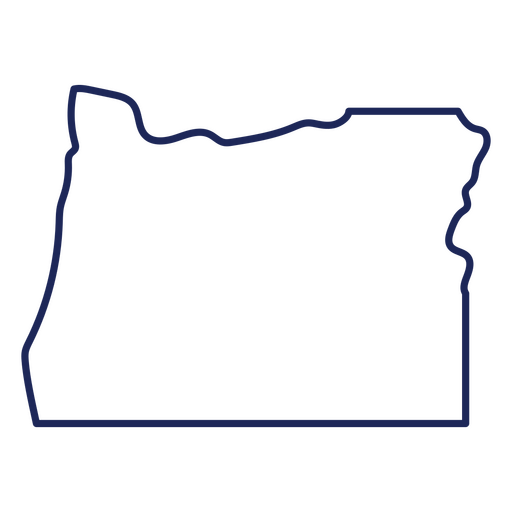
Mapa de trazos del estado de Oregón Diseño PNG
Elija una carpeta
Todos los favoritos
Crear Nueva
Guardar
Mapa de trazos del estado de Oregón Diseño PNG
Mapa de trazos del estado de Nevada Diseño PNG
Elija una carpeta
Todos los favoritos
Crear Nueva
Guardar
Mapa de trazos del estado de Nevada Diseño PNG
Mapa de trazos del estado de Missouri Diseño PNG
Elija una carpeta
Todos los favoritos
Crear Nueva
Guardar
Mapa de trazos del estado de Missouri Diseño PNG
Mapa de trazos del estado de Oklahoma Diseño PNG
Elija una carpeta
Todos los favoritos
Crear Nueva
Guardar
Mapa de trazos del estado de Oklahoma Diseño PNG
Listo para imprimir
para Merch
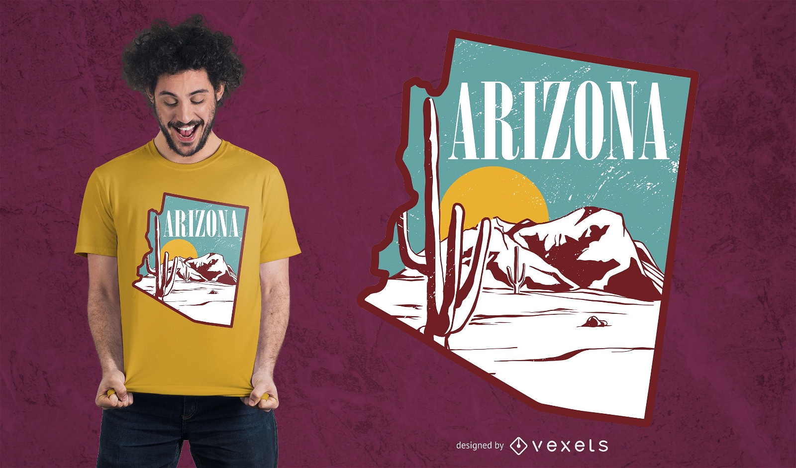
Diseño de camiseta de paisaje de Arizona
Elija una carpeta
Todos los favoritos
Crear Nueva
Guardar
Diseño de camiseta de paisaje de Arizona
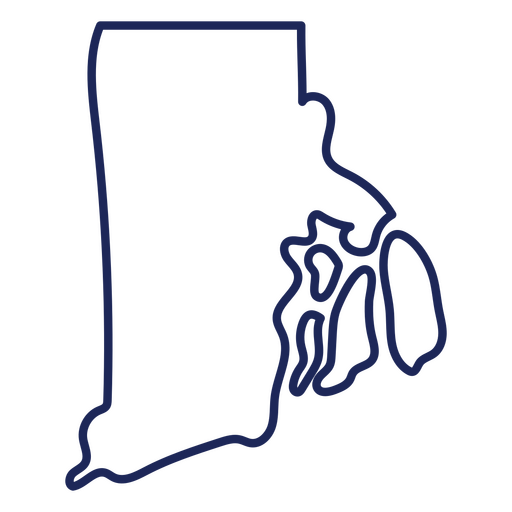
Mapa de accidentes cerebrovasculares del estado de Rhode Island Diseño PNG
Elija una carpeta
Todos los favoritos
Crear Nueva
Guardar
Mapa de accidentes cerebrovasculares del estado de Rhode Island Diseño PNG
Mapa de trazos del estado de Vermont Diseño PNG
Elija una carpeta
Todos los favoritos
Crear Nueva
Guardar
Mapa de trazos del estado de Vermont Diseño PNG
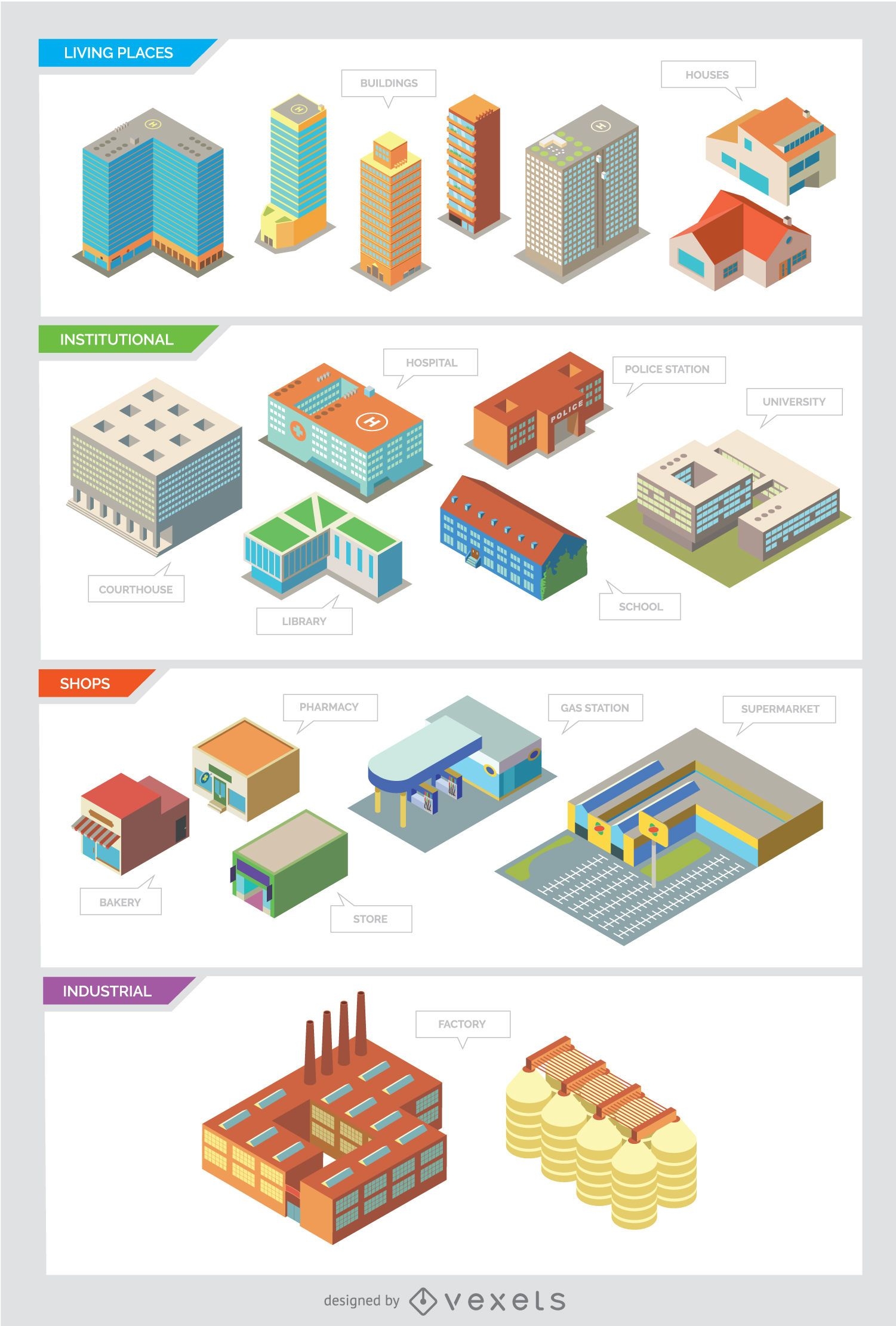
Edificios de la ciudad - Aislados e isométricos
Elija una carpeta
Todos los favoritos
Crear Nueva
Guardar
Edificios de la ciudad - Aislados e isométricos
Listo para imprimir
Premium
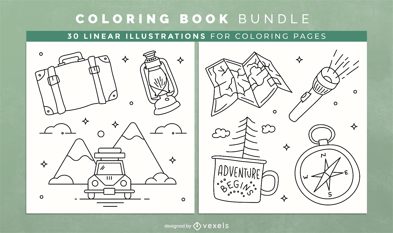
Camping libro para colorear KDP interior design
Elija una carpeta
Todos los favoritos
Crear Nueva
Guardar
Camping libro para colorear KDP interior design
Cuarto de julio-StarsandStripes-VintageEtchPrint-Vinyl-CR - 12 Diseño PNG
Elija una carpeta
Todos los favoritos
Crear Nueva
Guardar
Cuarto de julio-StarsandStripes-VintageEtchPrint-Vinyl-CR - 12 Diseño PNG
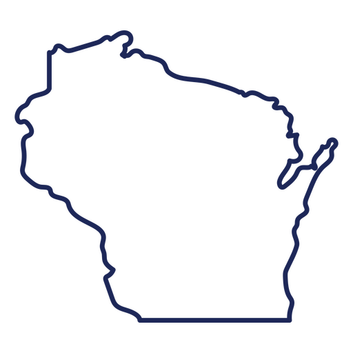
Mapa de trazos del estado de Wisconsin Diseño PNG
Elija una carpeta
Todos los favoritos
Crear Nueva
Guardar
Mapa de trazos del estado de Wisconsin Diseño PNG
Fondo de pantalla de elementos itinerantes
Elija una carpeta
Todos los favoritos
Crear Nueva
Guardar
Fondo de pantalla de elementos itinerantes
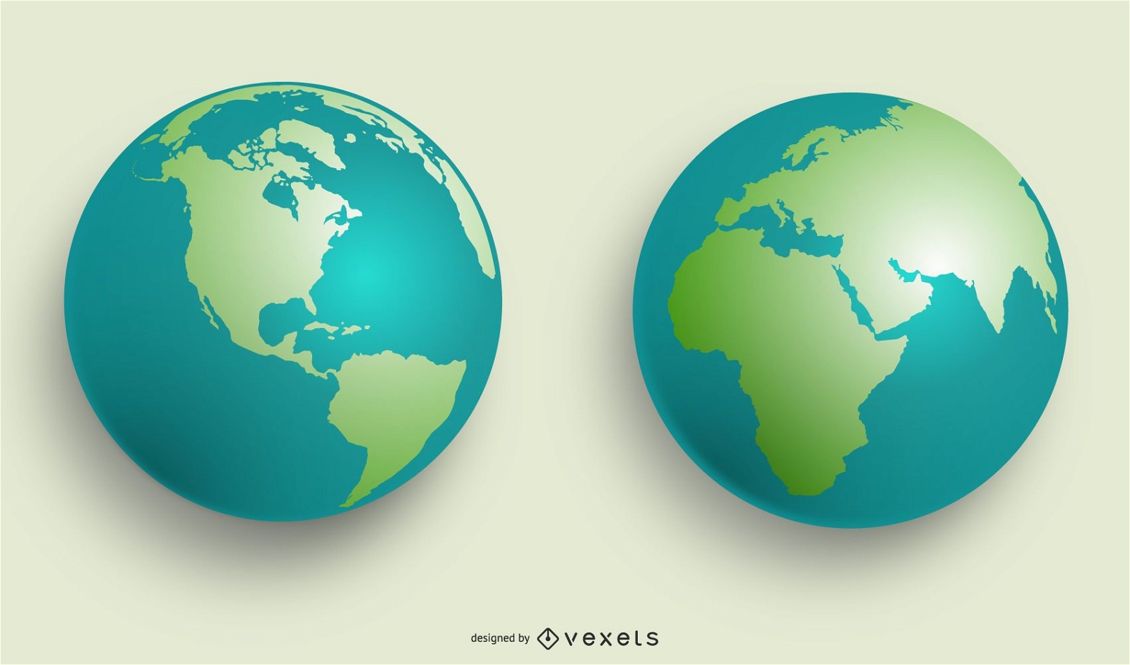
GLOBOS DEL MUNDO VECTORIAL
Elija una carpeta
Todos los favoritos
Crear Nueva
Guardar
GLOBOS DEL MUNDO VECTORIAL
Infografía de entrega internacional
Elija una carpeta
Todos los favoritos
Crear Nueva
Guardar
Infografía de entrega internacional
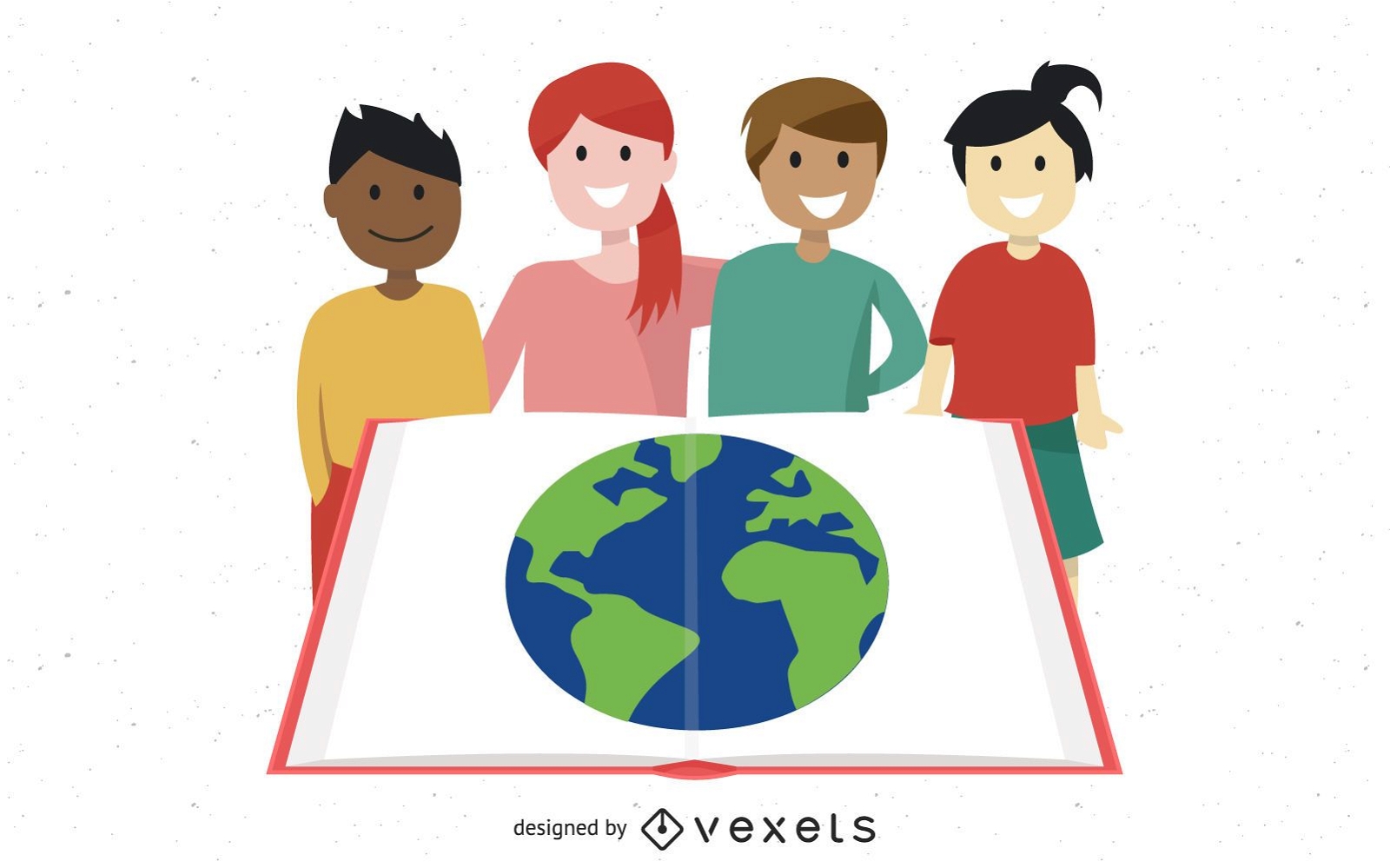
Grupo de niños estudiando con globo en libro abierto
Elija una carpeta
Todos los favoritos
Crear Nueva
Guardar
Grupo de niños estudiando con globo en libro abierto
Impulsa tu negocio
Con la plataforma gráfica líder para merch.
Ver planes
Siguiente
de 39
prev page
next page