Biblioteca de Diseños
Nuevos Diseños Merch
Camisetas
Vectores
Diseños en tendencias de Merch
PNGs & SVGs
Mockups
Plantillas PSD de diseño de camisetas
Explorar Diseños
Diseños KDP
Posters
Tazas
Fundas para teléfonos
Bolsas de mano
Cojines
Herramientas de diseño
Merch Designer
Nuevo!
Mockup Generator
Generador de Diseño de IA
Vectorizador
Quote Generator
T-Shirt Maker (Antigua)
Ayuda
Merch Digest
Blog
Centro de Ayuda
Más información sobre Merch
Comentarios
Soluciones Corporativas
Empresa
Acceso a la API
Estudio de Diseño
Diseño a Gran Escala
Precios
Cargando...
Registrarse
Iniciar sesión
PNGs For Merch
map
Biblioteca de Diseños
Nuevos Diseños Merch
Camisetas
Vectores
Diseños en tendencias de Merch
PNGs & SVGs
Mockups
Plantillas PSD de diseño de camisetas
Explorar Diseños
Diseños KDP
Posters
Tazas
Fundas para teléfonos
Bolsas de mano
Cojines
Herramientas de diseño
Merch Designer
Nuevo!
Mockup Generator
Generador de Diseño de IA
Vectorizador
Quote Generator
T-Shirt Maker (Antigua)
Ayuda
Merch Digest
Blog
Centro de Ayuda
Más información sobre Merch
Comentarios
Soluciones Corporativas
Empresa
Acceso a la API
Estudio de Diseño
Diseño a Gran Escala
PLANES
PNGs For Merch
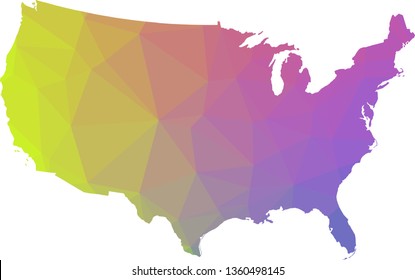
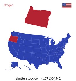
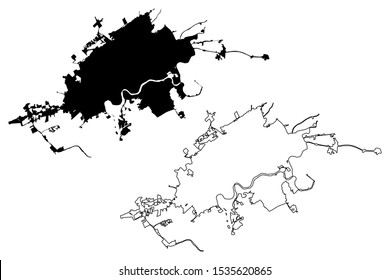
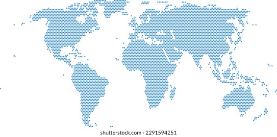
map
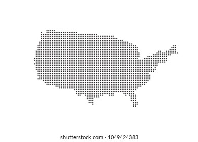
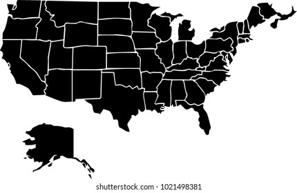
1313 Diseños gráficos PNG y SVG de map
Descarga map diseños PNG y SVG con fondos transparentes para camisetas, portadas de libros, carcasas para teléfonos y otros.
Relacionado:
mapa
,
mapas
,
mapa global
Ordenado por
Más relevante
Resultados patrocinados por
Obtén un 15% de descuento con el código: VEXELS15
ver más
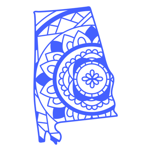
Trazo de mapa de mandala del estado de alabama Diseño PNG
Elija una carpeta
Todos los favoritos
Crear Nueva
Guardar
Trazo de mapa de mandala del estado de alabama Diseño PNG
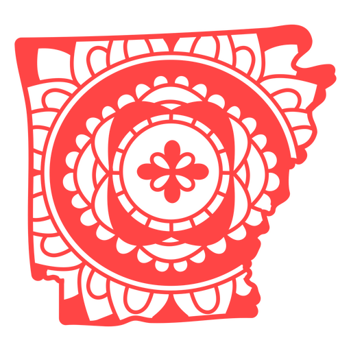
Trazo de mapa de mandala del estado de Arkansas Diseño PNG
Elija una carpeta
Todos los favoritos
Crear Nueva
Guardar
Trazo de mapa de mandala del estado de Arkansas Diseño PNG
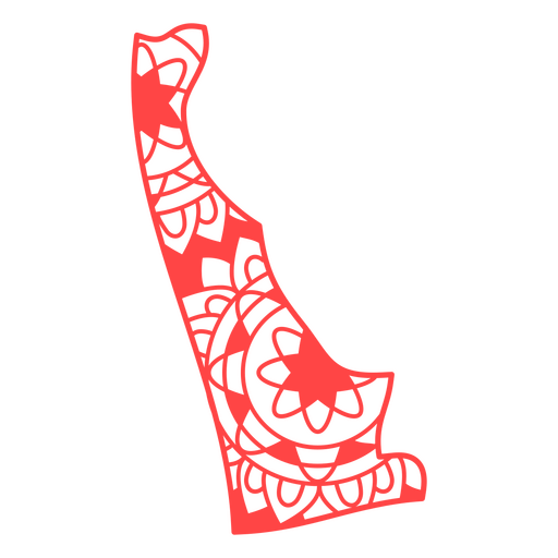
Trazo de mapa de mandala del estado de Delaware Diseño PNG
Elija una carpeta
Todos los favoritos
Crear Nueva
Guardar
Trazo de mapa de mandala del estado de Delaware Diseño PNG
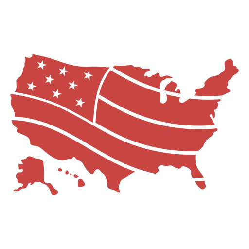
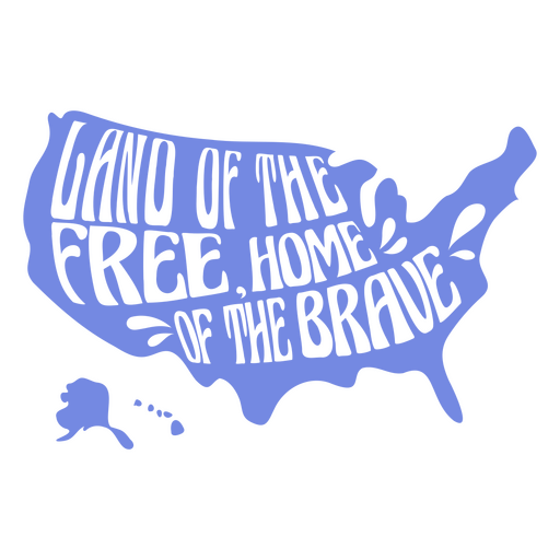
Frases del cuarto de julio en EE. UU. Forma de vinilo retro CR - 4 Diseño PNG
Elija una carpeta
Todos los favoritos
Crear Nueva
Guardar
Frases del cuarto de julio en EE. UU. Forma de vinilo retro CR - 4 Diseño PNG
Cuarto de julio-StarsAndStripes-DetalladoRealisticSilhouette-CR - 21 Diseño PNG
Elija una carpeta
Todos los favoritos
Crear Nueva
Guardar
Cuarto de julio-StarsAndStripes-DetalladoRealisticSilhouette-CR - 21 Diseño PNG
Premium
Brújula náutica detallada silueta realista - 4 Diseño PNG
Elija una carpeta
Todos los favoritos
Crear Nueva
Guardar
Brújula náutica detallada silueta realista - 4 Diseño PNG
Premium
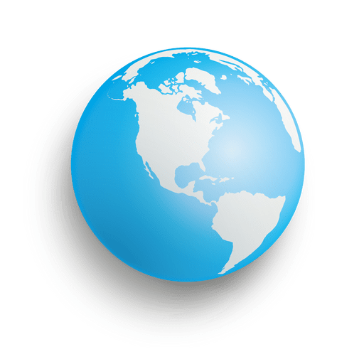
Globo de la tierra azul Diseño PNG
Elija una carpeta
Todos los favoritos
Crear Nueva
Guardar
Globo de la tierra azul Diseño PNG
Esfera azul de la tierra Diseño PNG
Elija una carpeta
Todos los favoritos
Crear Nueva
Guardar
Esfera azul de la tierra Diseño PNG
Brújula náutica detallada silueta realista - 6 Diseño PNG
Elija una carpeta
Todos los favoritos
Crear Nueva
Guardar
Brújula náutica detallada silueta realista - 6 Diseño PNG
Icono de globo dibujado a mano Diseño PNG
Elija una carpeta
Todos los favoritos
Crear Nueva
Guardar
Icono de globo dibujado a mano Diseño PNG
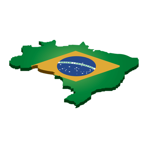
Bandera histórica de brasil Diseño PNG
Elija una carpeta
Todos los favoritos
Crear Nueva
Guardar
Bandera histórica de brasil Diseño PNG
Premium
Símbolo de ubicación de banner Diseño PNG
Elija una carpeta
Todos los favoritos
Crear Nueva
Guardar
Símbolo de ubicación de banner Diseño PNG
Premium
Bicicleta de anillos de globo Diseño PNG
Elija una carpeta
Todos los favoritos
Crear Nueva
Guardar
Bicicleta de anillos de globo Diseño PNG
Premium
El estado de Ohio con un fondo colorido. Diseño PNG
Elija una carpeta
Todos los favoritos
Crear Nueva
Guardar
El estado de Ohio con un fondo colorido. Diseño PNG
Premium
Icono de bombilla de globo 3 Diseño PNG
Elija una carpeta
Todos los favoritos
Crear Nueva
Guardar
Icono de bombilla de globo 3 Diseño PNG
Premium
Pin de ubicación icono de trazo de color Diseño PNG
Elija una carpeta
Todos los favoritos
Crear Nueva
Guardar
Pin de ubicación icono de trazo de color Diseño PNG
Globo terráqueo ilustración globo Diseño PNG
Elija una carpeta
Todos los favoritos
Crear Nueva
Guardar
Globo terráqueo ilustración globo Diseño PNG
Premium
Icono de círculo de puntero de ubicación Diseño PNG
Elija una carpeta
Todos los favoritos
Crear Nueva
Guardar
Icono de círculo de puntero de ubicación Diseño PNG
Tierra de la insignia recortada gratis Diseño PNG
Elija una carpeta
Todos los favoritos
Crear Nueva
Guardar
Tierra de la insignia recortada gratis Diseño PNG
Premium
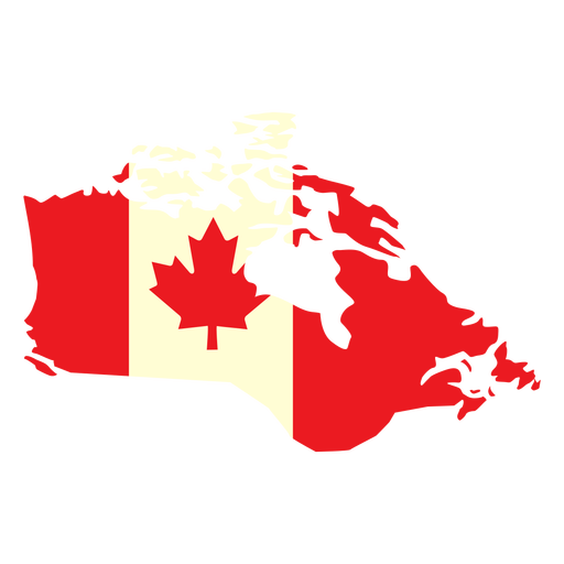
País geográfico con bandera de canadá plana Diseño PNG
Elija una carpeta
Todos los favoritos
Crear Nueva
Guardar
País geográfico con bandera de canadá plana Diseño PNG
Premium
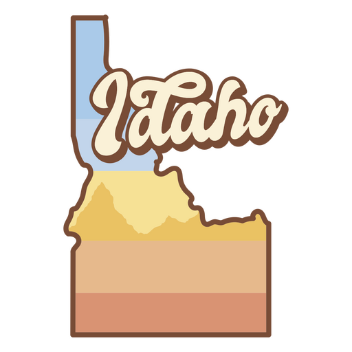
Se muestra el estado de idaho. Diseño PNG
Elija una carpeta
Todos los favoritos
Crear Nueva
Guardar
Se muestra el estado de idaho. Diseño PNG
Brújula náutica detallada silueta realista - 8 Diseño PNG
Elija una carpeta
Todos los favoritos
Crear Nueva
Guardar
Brújula náutica detallada silueta realista - 8 Diseño PNG
Premium
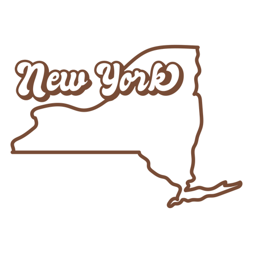
El estado de Nueva York se muestra en marrón. Diseño PNG
Elija una carpeta
Todos los favoritos
Crear Nueva
Guardar
El estado de Nueva York se muestra en marrón. Diseño PNG
Icono de ubicación isométrico Diseño PNG
Elija una carpeta
Todos los favoritos
Crear Nueva
Guardar
Icono de ubicación isométrico Diseño PNG
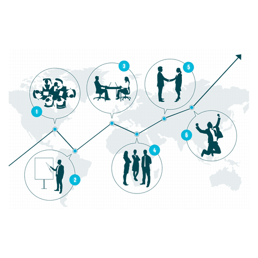
Diagrama de crecimiento empresarial Diseño PNG
Elija una carpeta
Todos los favoritos
Crear Nueva
Guardar
Diagrama de crecimiento empresarial Diseño PNG
Premium
Mundo de transporte de viajes mundial Diseño PNG
Elija una carpeta
Todos los favoritos
Crear Nueva
Guardar
Mundo de transporte de viajes mundial Diseño PNG
Premium
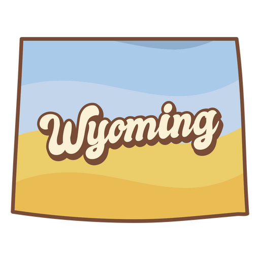
El estado de Wyoming con la palabra Wyoming escrita. Diseño PNG
Elija una carpeta
Todos los favoritos
Crear Nueva
Guardar
El estado de Wyoming con la palabra Wyoming escrita. Diseño PNG
Icono de trazo de globo Diseño PNG
Elija una carpeta
Todos los favoritos
Crear Nueva
Guardar
Icono de trazo de globo Diseño PNG
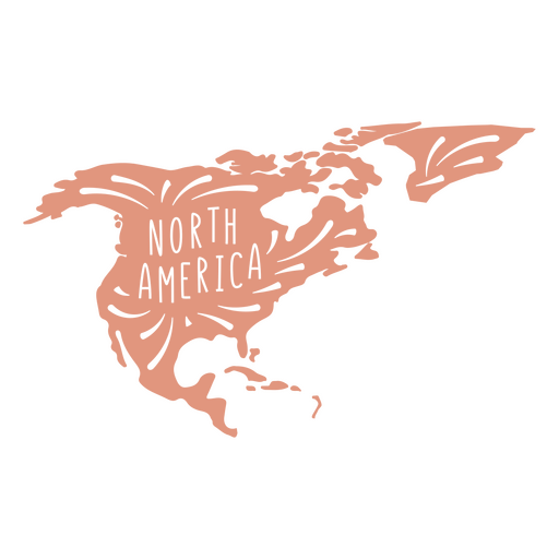
Silueta del continente de América del Norte Diseño PNG
Elija una carpeta
Todos los favoritos
Crear Nueva
Guardar
Silueta del continente de América del Norte Diseño PNG
Premium
Flecha en globo Diseño PNG
Elija una carpeta
Todos los favoritos
Crear Nueva
Guardar
Flecha en globo Diseño PNG
Premium
Recargar globo Diseño PNG
Elija una carpeta
Todos los favoritos
Crear Nueva
Guardar
Recargar globo Diseño PNG
Premium
Icono de escuela plana de globo de geografía Diseño PNG
Elija una carpeta
Todos los favoritos
Crear Nueva
Guardar
Icono de escuela plana de globo de geografía Diseño PNG
Icono de globo del día del agua Diseño PNG
Elija una carpeta
Todos los favoritos
Crear Nueva
Guardar
Icono de globo del día del agua Diseño PNG
Premium
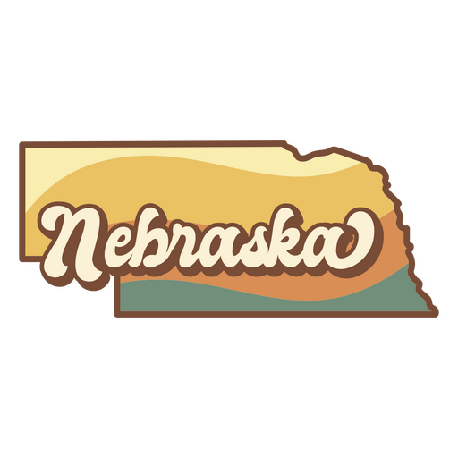
el estado de nebraska Diseño PNG
Elija una carpeta
Todos los favoritos
Crear Nueva
Guardar
el estado de nebraska Diseño PNG
Brújula náutica detallada silueta realista - 0 Diseño PNG
Elija una carpeta
Todos los favoritos
Crear Nueva
Guardar
Brújula náutica detallada silueta realista - 0 Diseño PNG
Brújula náutica detallada silueta realista - 2 Diseño PNG
Elija una carpeta
Todos los favoritos
Crear Nueva
Guardar
Brújula náutica detallada silueta realista - 2 Diseño PNG
Premium
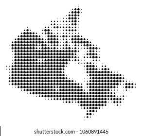
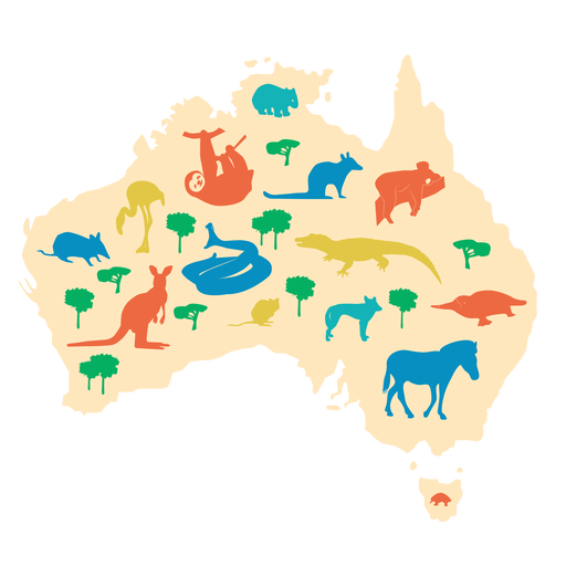
Ilustración de Australia Diseño PNG
Elija una carpeta
Todos los favoritos
Crear Nueva
Guardar
Ilustración de Australia Diseño PNG
Premium
Icono de escuela de globo de geografía Diseño PNG
Elija una carpeta
Todos los favoritos
Crear Nueva
Guardar
Icono de escuela de globo de geografía Diseño PNG
Premium
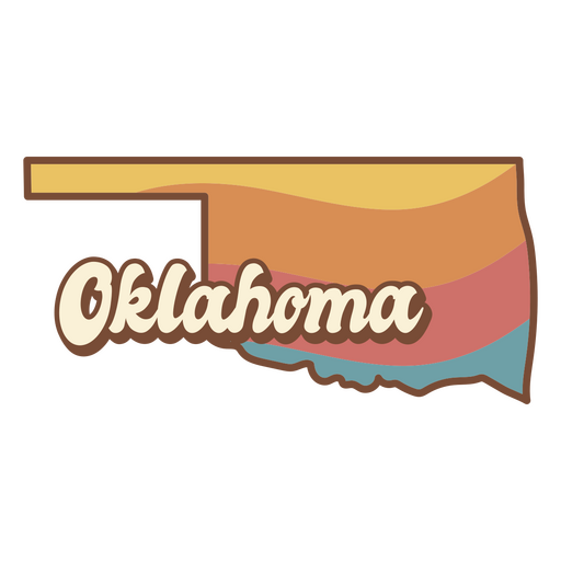
El estado de Oklahoma retro Diseño PNG
Elija una carpeta
Todos los favoritos
Crear Nueva
Guardar
El estado de Oklahoma retro Diseño PNG
Brújula náutica detallada silueta realista - 1 Diseño PNG
Elija una carpeta
Todos los favoritos
Crear Nueva
Guardar
Brújula náutica detallada silueta realista - 1 Diseño PNG
Premium
Instrumento de brújula de carrera Diseño PNG
Elija una carpeta
Todos los favoritos
Crear Nueva
Guardar
Instrumento de brújula de carrera Diseño PNG
Premium
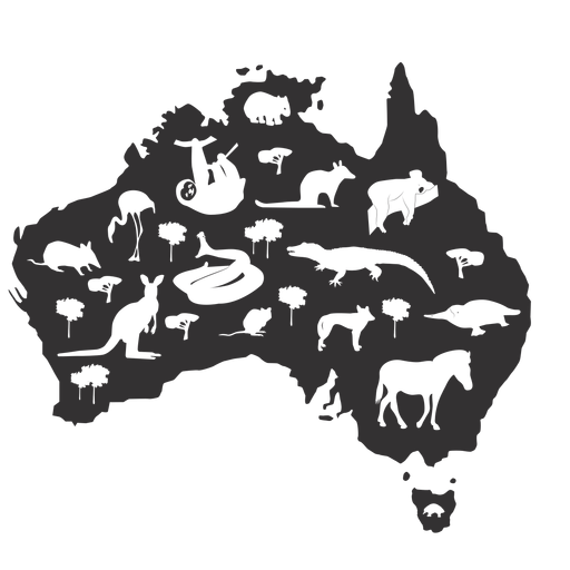
Australia silueta Diseño PNG
Elija una carpeta
Todos los favoritos
Crear Nueva
Guardar
Australia silueta Diseño PNG
Premium
Icono de círculo de globo Diseño PNG
Elija una carpeta
Todos los favoritos
Crear Nueva
Guardar
Icono de círculo de globo Diseño PNG
Premium
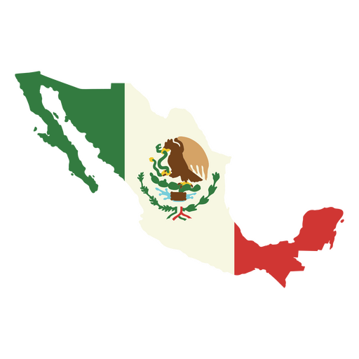
La Bandera de Mexico Diseño PNG
Elija una carpeta
Todos los favoritos
Crear Nueva
Guardar
La Bandera de Mexico Diseño PNG
Icono de trazo de carretera Diseño PNG
Elija una carpeta
Todos los favoritos
Crear Nueva
Guardar
Icono de trazo de carretera Diseño PNG
Premium
Icono de escuela de trazo de globo de geografía Diseño PNG
Elija una carpeta
Todos los favoritos
Crear Nueva
Guardar
Icono de escuela de trazo de globo de geografía Diseño PNG
ValentinesPuns-FacetiousLove-ThickandThinStylizedSerif-Vinyl-CR - 7 Diseño PNG
Elija una carpeta
Todos los favoritos
Crear Nueva
Guardar
ValentinesPuns-FacetiousLove-ThickandThinStylizedSerif-Vinyl-CR - 7 Diseño PNG
Premium
Ilustración de escuela de globo de geografía Diseño PNG
Elija una carpeta
Todos los favoritos
Crear Nueva
Guardar
Ilustración de escuela de globo de geografía Diseño PNG
Brújula náutica detallada silueta realista - 5 Diseño PNG
Elija una carpeta
Todos los favoritos
Crear Nueva
Guardar
Brújula náutica detallada silueta realista - 5 Diseño PNG
Premium
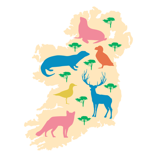
Ilustración de animales de Irlanda Diseño PNG
Elija una carpeta
Todos los favoritos
Crear Nueva
Guardar
Ilustración de animales de Irlanda Diseño PNG
Impulsa tu negocio
Con la plataforma gráfica líder para merch.
Ver planes
Siguiente
de 27
prev page
next page